Almost everyone who comes to Moab does the same thing: Arches National Park, Delicate Arch, a photo, and back to the hotel.
Arches is wonderful. It’s also 3 percent of what’s within half an hour of this town, and it now requires timed entry reservations while everything else on this list does not.
Moab sits in the middle of an enormous amount of public land. Here’s what to do with the rest of it.
Dead Horse Point
A state park rather than a national one, thirty minutes from town, and in my opinion the single best view in southern Utah.
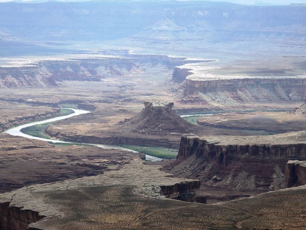
A narrow neck of land opens onto a mesa 2,000 feet above a gooseneck bend in the Colorado River, with canyon country stretching out behind it.
Small entry fee, no reservation needed, and the main overlook is a two minute walk from the car park. There’s a rim trail if you want more.
Sunrise here is extraordinary and you’ll share it with a handful of people rather than a hundred.
The name comes from a grim story about cowboys corralling wild horses on the neck. Locals will tell it to you with relish.
Canyonlands: Island in the Sky
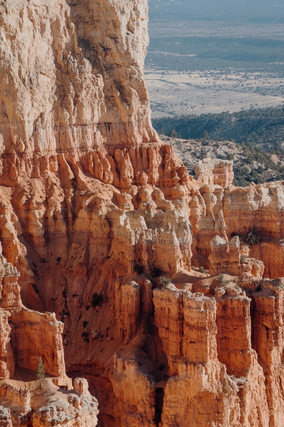
Canyonlands is the bigger, wilder, emptier neighbour to Arches, and it gets a fraction of the visitors despite being forty minutes from the same town.
Island in the Sky is the accessible district, a mesa sitting high above two river canyons, with viewpoints along a scenic drive.
Grand View Point at the end is exactly what it says. Mesa Arch is a short walk to an arch that frames the canyon below, and at sunrise the underside glows orange from reflected light.
Upheaval Dome is a crater that geologists still argue about, either a salt dome collapse or a meteorite strike.
No timed entry. Bring water, there’s none in the park.
▶ Watch This Before You Go
The Fisher Towers
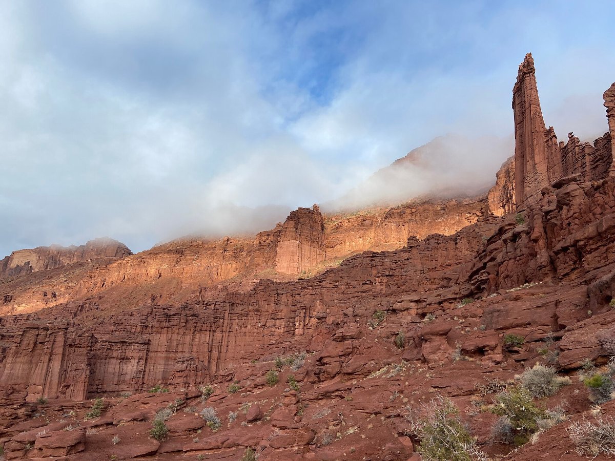
Twenty five minutes up Highway 128 along the river, and one of the strangest rock formations in America.
Dark red sandstone spires rising several hundred feet out of the desert, eroded into shapes that look deliberately sculpted. The Titan is the tallest freestanding tower in the country.
The trail is 4.4 miles round trip, undulating rather than climbing, and it winds right in among them. Late afternoon light is when they glow.
The drive there is half the point. Highway 128 follows the Colorado through a red canyon and is one of the great American back roads.
Get on the Colorado River
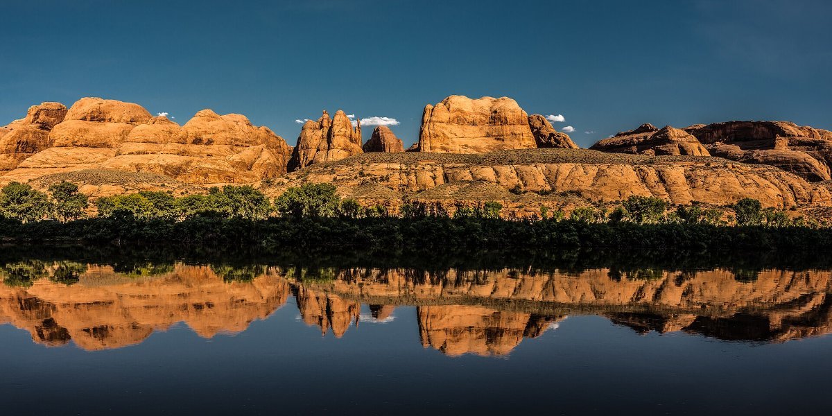
Moab exists because of this river and most visitors never touch it.
Half day rafting trips run the gentler stretches upstream and are suitable for families. The bigger water in Westwater Canyon and Cataract Canyon needs a full day or several.
Stand-up paddleboarding and calm-water canoe trips run on the flat sections.
Or just drive Highway 128 and stop at the pull-offs. The river beaches are free and mostly empty.
Corona Arch
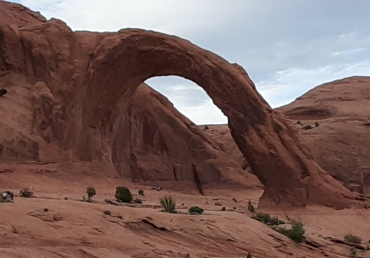
A 140 foot arch on BLM land, three miles round trip, with a couple of short ladder and cable sections that make it more interesting than a flat walk.
It’s bigger than most of the arches inside the national park and it has no entry fee, no reservation and a fraction of the people.
Bowtie Arch sits right beside it.
This is the single best illustration of the point of this article: the same landscape, without the queue.
Petroglyphs and Dinosaur Tracks
The Moab area has a lot of rock art and it’s largely unsupervised and free.
Potash Road along the river has panels visible from the roadside, some of them thousands of years old. Sego Canyon further out has a remarkable set spanning several distinct cultures.
There are also dinosaur trackways at Mill Canyon and Copper Ridge, where you can stand next to actual footprints in stone.
Never touch rock art. Skin oils damage it permanently, and these panels have survived millennia without help.
Off-Road, If That’s Your Thing
Moab is one of the world’s great four-wheel-drive destinations and the town is full of rental outfits.
Hell’s Revolve and Fins and Things are the famous slickrock trails. Shafer Trail switchbacks down a cliff from Island in the Sky and is genuinely dramatic.
You can hire a UTV, take a guided tour, or drive your own if it’s capable and you know what you’re doing. The White Rim Road is a 100 mile backcountry loop that takes two or three days and needs a permit.
Mountain biking is the other half of this. The Slickrock Trail is the legendary one and it is genuinely hard.
The Dark Sky
Moab is a certified dark sky area and Dead Horse Point and Canyonlands are both International Dark Sky Parks.
On a moonless night the Milky Way is plainly visible with no equipment at all. Drive fifteen minutes out of town, turn the headlights off, and give your eyes twenty minutes.
It costs nothing and it’s the thing people remember 🙂
Practical Things
Spring and autumn, March to May and September to October, are the seasons. Summer regularly passes 38 degrees with no shade, and winter is cold with some roads closed.
Moab is a small town and it fills. Book accommodation ahead in the shoulder seasons, particularly around the Jeep Safari in April.
Carry far more water than you think. A gallon per person per day is the standard advice for a reason.
Fuel up in town. Once you’re out on the back roads there is nothing.
Common Questions
How many days do you need in Moab? Three. One for Arches, one for Canyonlands and Dead Horse Point, one for the river or the trails outside the parks.
Do I need a reservation? For Arches in peak season, yes, timed entry. Canyonlands, Dead Horse Point and everything on BLM land need none.
What’s the best free thing to do? Corona Arch, the petroglyph panels on Potash Road, and the stars.
Do I need a 4×4? No for everything in this article. Yes for the slickrock trails and the White Rim.
Is Canyonlands better than Arches? Bigger, wilder and emptier. Arches has the famous shapes. Most people who visit both prefer Canyonlands.