Big Sur is 90 miles of Highway 1 between Carmel and San Simeon, cut into a mountainside that falls straight into the Pacific. It has no towns to speak of, one traffic light in the entire stretch, and almost no phone signal.
Most people drive it in three hours as part of getting somewhere else, and that’s a genuine shame, because the whole thing is about stopping.
Here’s a full day, north to south, done properly.
Before You Set Off
Three practical things, and they matter more here than on most drives.
Fill the tank in Carmel or Monterey. There are two petrol stations in the whole of Big Sur and they charge what they like, which is a lot.
Download your maps and any music. There’s no signal for most of the route and you will not be looking anything up.
Check Caltrans for closures. Landslides shut sections of this road regularly, sometimes for months, and the inland detour is several hours. This is not a hypothetical, it happens most winters.
Bring food and water. Restaurants exist and they’re expensive and often full.
8am: Point Lobos
Technically just before Big Sur proper, and worth the early start.
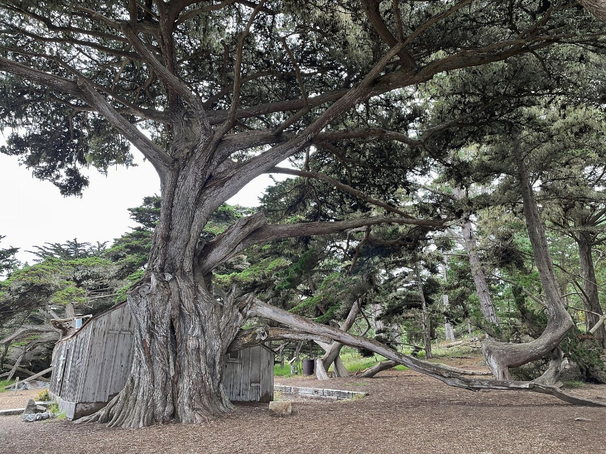
A small state reserve on a headland with cypress groves, coves of impossibly clear water, sea otters, harbour seals and, in winter, migrating grey whales close in.
The Cypress Grove Trail is a 0.8 mile loop and it’s the best short walk on the central coast. Bird Island Trail is similarly easy.
Get there at opening. The car park is small and they close the gate when it’s full, then you queue on the highway.
10am: Bixby Bridge and the Drive South
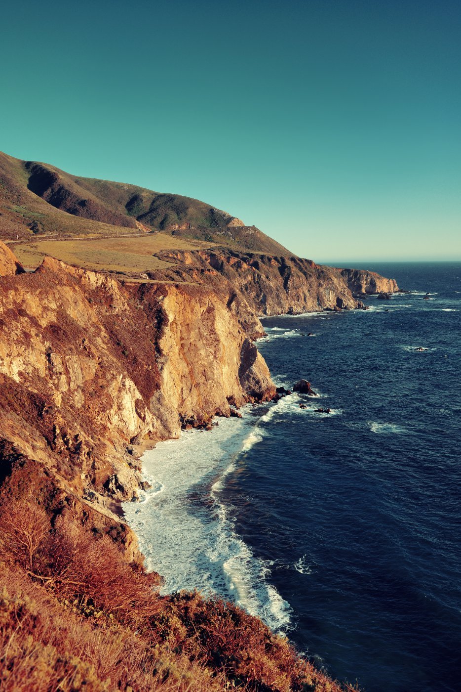
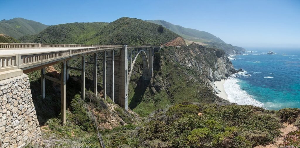
Bixby Creek Bridge is the one on all the car adverts, a single concrete arch 280 feet above a canyon, built in 1932.
The pull-off just north gives you the classic view. It’s small and it’s usually full, so be patient or come back later.
Just before it, the Old Coast Road turns inland and gives you a different angle for free. Rough surface, fine in dry weather in a normal car.
Then keep driving and stop whenever the view demands it, which will be constantly. That’s the point of the day.
▶ Watch This Before You Go
Noon: Pfeiffer Beach
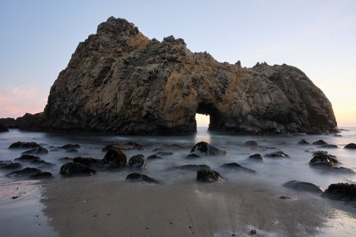
The hardest stop to find and the best one on the coast.
The turning is Sycamore Canyon Road, unmarked except for a small yield sign, about a mile south of the Big Sur ranger station. It’s a narrow two mile descent to the beach.
What’s there: purple-tinged sand from manganese garnet in the cliffs, and Keyhole Rock, a sea arch that waves surge through. In December and January the sunset lines up so the sun shines straight through the keyhole, which is the famous photo.
Small parking fee, cash only, and the car park fills. No coaches or RVs, the road won’t take them.
2pm: Julia Pfeiffer Burns and McWay Falls
An 80 foot waterfall dropping directly onto a beach in a cove of turquoise water, with a Monterey cypress leaning over it.
The walk from the car park is about five minutes on a flat path through a tunnel under the highway. That’s it. It’s the highest reward-to-effort ratio in California.
You cannot get down to the beach and people who try get hurt. Look from the overlook.
Park in the lot or in the pull-offs on the highway just before it, which saves the entrance fee if you’re only doing the falls.
3pm: Into the Redwoods
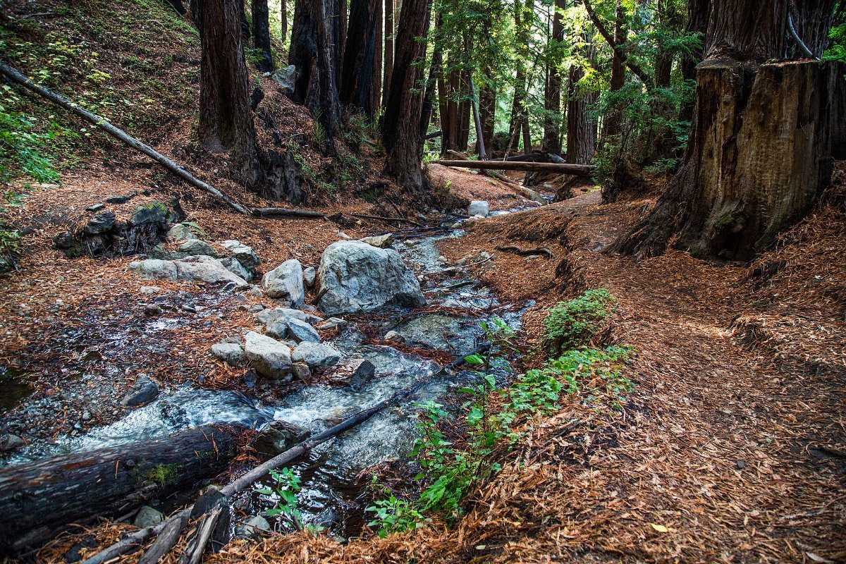
Everyone photographs the coast and forgets that Big Sur has forest. The valleys behind the highway are full of coast redwoods.
Pfeiffer Big Sur State Park has easy trails through them, including the Valley View and Buzzards Roost routes. The Ewoldsen Trail in Julia Pfeiffer Burns climbs through redwoods to a ridge with a big view back over the ocean.
It’s cool, dark and completely different from the cliffs half a mile away. Half an hour in here resets the whole day.
5pm: South to the Elephant Seals
Keep going south past Lucia and Gorda and the road opens out. The cliffs are lower, the traffic thins, and this stretch is emptier than the north.
At Piedras Blancas, just north of San Simeon, there’s an elephant seal rookery right beside the road with a boardwalk and no fee.
Thousands of them, up to four metres long, lying on the beach and honking at each other. Peak numbers are December to March for breeding, but there are seals year round.
It’s free, it takes twenty minutes, and it’s one of the strangest wildlife encounters in the state.
Sunset: Anywhere Facing West
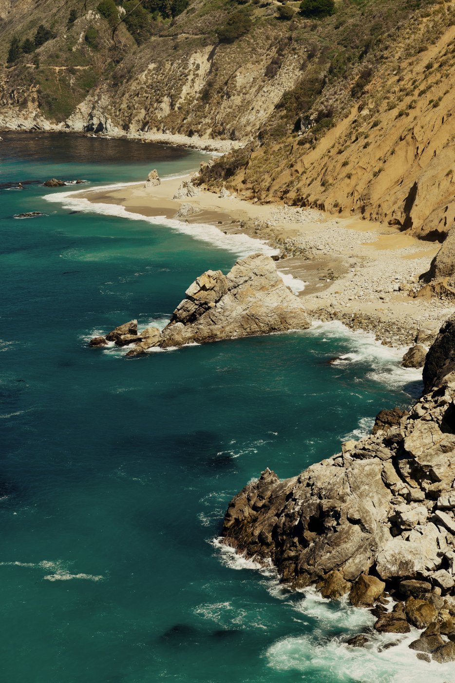
The whole coast faces west, so you have several dozen options and no wrong answer.
Nepenthe restaurant has a terrace 800 feet above the ocean and has been the classic Big Sur sunset spot since 1949. It’s busy and pricey and the view does most of the work.
Or pull into any turnout and sit on the bonnet. That’s free and honestly better.
Then drive on with headlights. The road is unlit, twisting and has no barriers in places, so if you’re not confident in the dark, plan to finish before nightfall.
Which Direction to Drive
North to south, so you’re in the ocean-side lane and every turnout is a right turn rather than a left across traffic on a blind bend.
Start Carmel, finish San Simeon or Cambria. If you’re going the other way, do the drive northbound and accept you’ll skip some stops.
Common Questions
How long does it take to drive Big Sur? Three hours without stopping. A proper day is eight to ten hours with the stops above.
Is there phone signal in Big Sur? Essentially none for most of the route. Download maps in advance.
Can you do Big Sur as a day trip from San Francisco? It’s a very long day, about six hours of driving before you’ve stopped anywhere. Better from Monterey or Carmel.
Where can you stay in Big Sur? A handful of lodges and campgrounds, all expensive and booked far ahead. Most people stay in Carmel, Monterey or Cambria.
When is the best time to go? September and October for clear skies. June and July are often fogged in until afternoon.