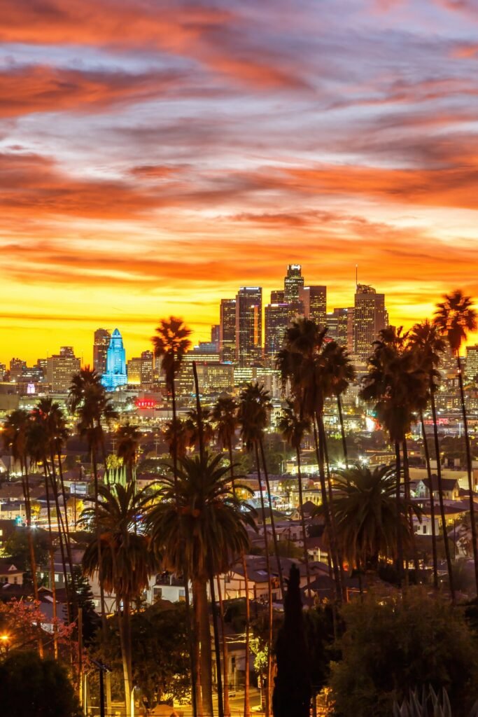
The Pacific Coast Highway is the drive everyone means when they say California road trip. Roughly 650 miles from San Francisco to San Diego, most of it with the ocean out of the passenger window.
The mistake people make is treating it as a transit route and doing it in two days. You can. You’ll also have driven past the entire point.
Four days minimum, five is better. And drive it north to south, which I’ll explain in a second.
Always Drive North to South
This is the single most useful thing in this article. Going southbound puts you in the right-hand lane, which on this road is the ocean side.
That means every viewpoint and pull-off is a simple right turn, and you’re not crossing oncoming traffic on a blind cliff bend to reach a car park.
It also means the ocean is right there next to you rather than across the road, which changes the whole feel of the drive.
Start in San Francisco, finish in San Diego, fly home from there. One-way car hire within California is usually reasonable.
Day 1: San Francisco to Monterey
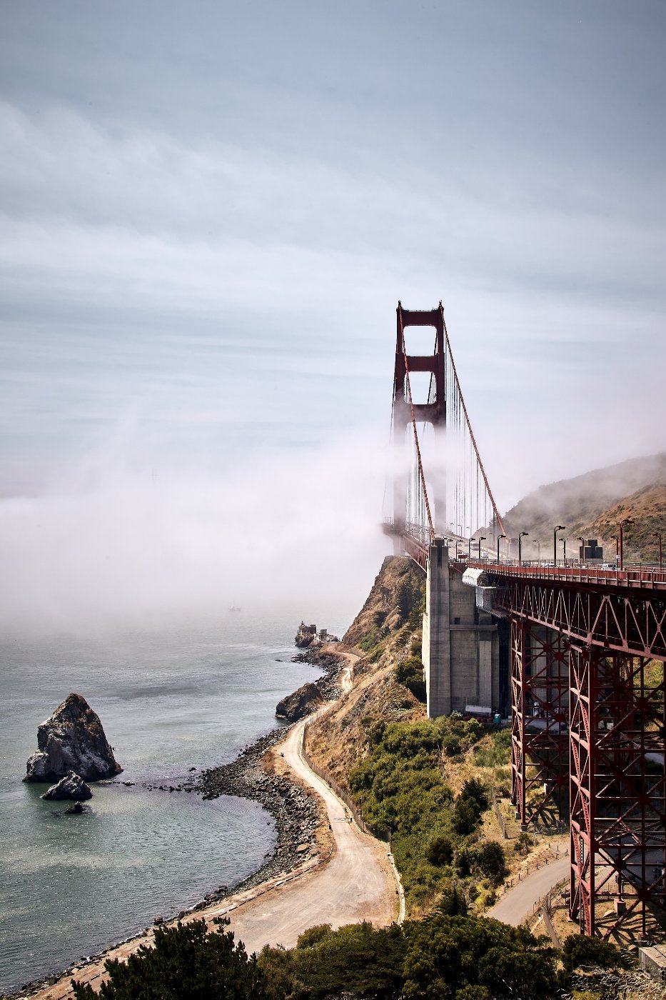
Cross the Golden Gate for the photo, come back, then head south on Highway 1 through Pacifica and down the San Mateo coast.
Half Moon Bay is a decent first stop. Pescadero has a bakery locals drive an hour for and an elephant seal colony at Ano Nuevo just south, which in winter is thousands of enormous animals shouting at each other.
Santa Cruz has a beach boardwalk with a wooden roller coaster from 1924 that still runs. Slightly faded, completely charming.
Monterey is where you sleep. The Monterey Bay Aquarium is one of the best in the world and worth half a day on its own.
▶ Watch This Before You Go
Day 2: The 17-Mile Drive and Carmel
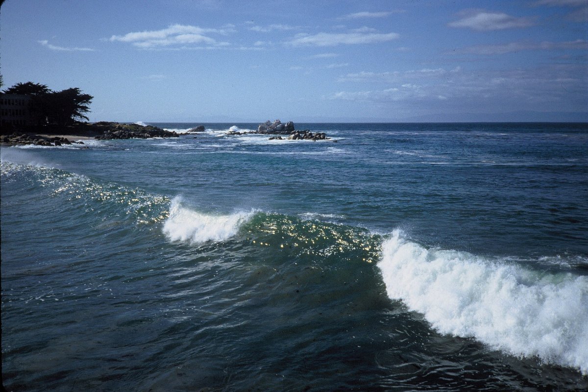
The 17-Mile Drive through Pebble Beach costs money and is worth it once. Cypress trees growing out of rock, golf courses, seals, and the Lone Cypress which has been photographed roughly nine million times.
Carmel-by-the-Sea is a strange and lovely village with no street numbers, no traffic lights and a rule against wearing high heels without a permit. Genuinely.
Point Lobos just south is the underrated one. A state reserve with short cliff trails, sea otters, and water so clear you can watch kelp forests from above.
Don’t rush this day. It’s an hour of driving and a full day of stopping.
Day 3: Big Sur
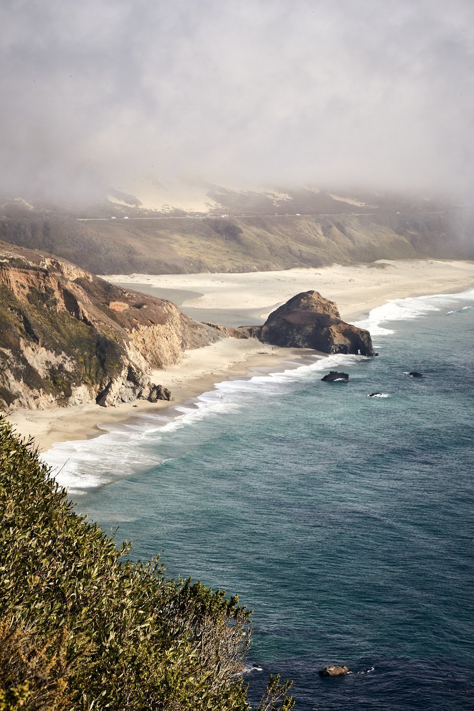
Ninety miles of road cut into a mountainside falling straight into the Pacific. This is the bit you came for.
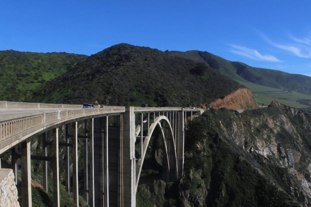
Bixby Creek Bridge is the famous span. There’s a pull-off just north for the classic view, and it’s usually full.
Pfeiffer Beach has purple-tinged sand and a keyhole rock arch that the sun shines through in December and January. The turning is unmarked and easy to miss, on a narrow road off the highway.
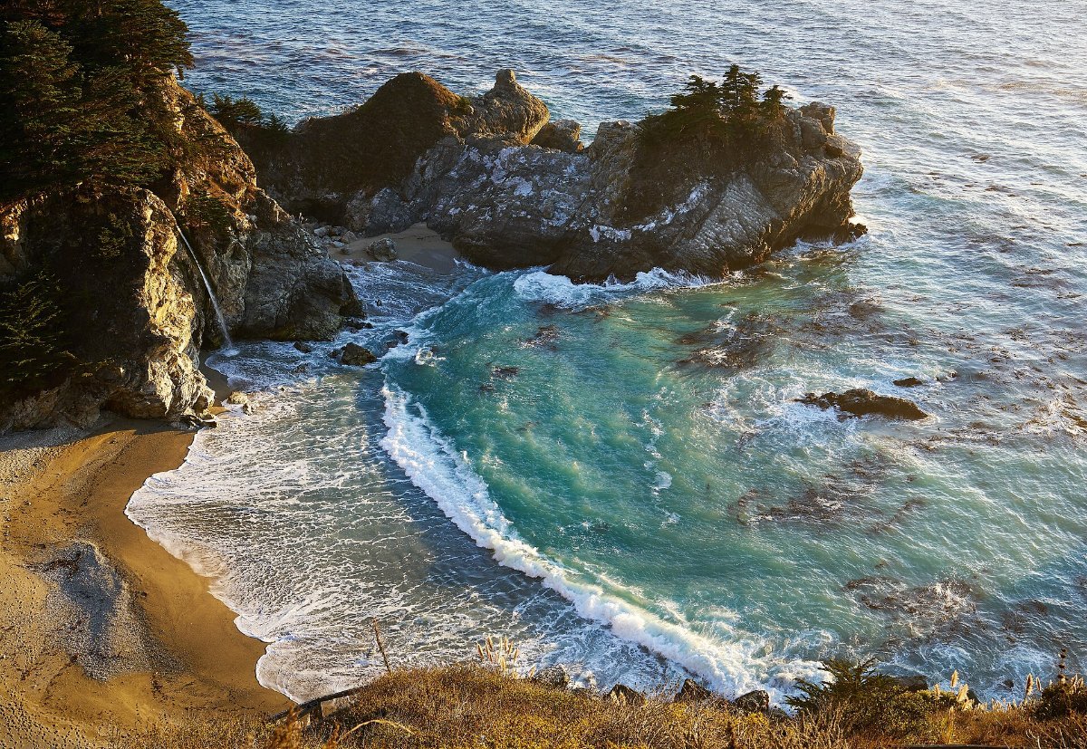
McWay Falls in Julia Pfeiffer Burns State Park drops 80 feet onto a beach you can’t reach. Five minute walk from the car park, and it’s the most photographed spot on the whole coast.
Big Sur, the Practical Reality
There is very little here. A handful of restaurants at eye-watering prices, two petrol stations charging accordingly, and almost no phone signal for the entire stretch.
Fill up in Carmel and bring food. Download your maps.
Landslides close this road regularly, sometimes for months. Check Caltrans before you set off, because the detour inland is several hours.
Accommodation in Big Sur is expensive and books out far ahead. Many people stay in Carmel or Cambria and drive the stretch in a day.
Day 4: Hearst Castle and the Central Coast
Coming out of Big Sur, the elephant seal rookery at Piedras Blancas is right by the road and free. Thousands of them, and they are enormous and extremely loud.
Hearst Castle above San Simeon is the newspaper magnate’s 165-room hilltop palace, stuffed with European art and a Roman-style pool that has to be seen. Tours book ahead.
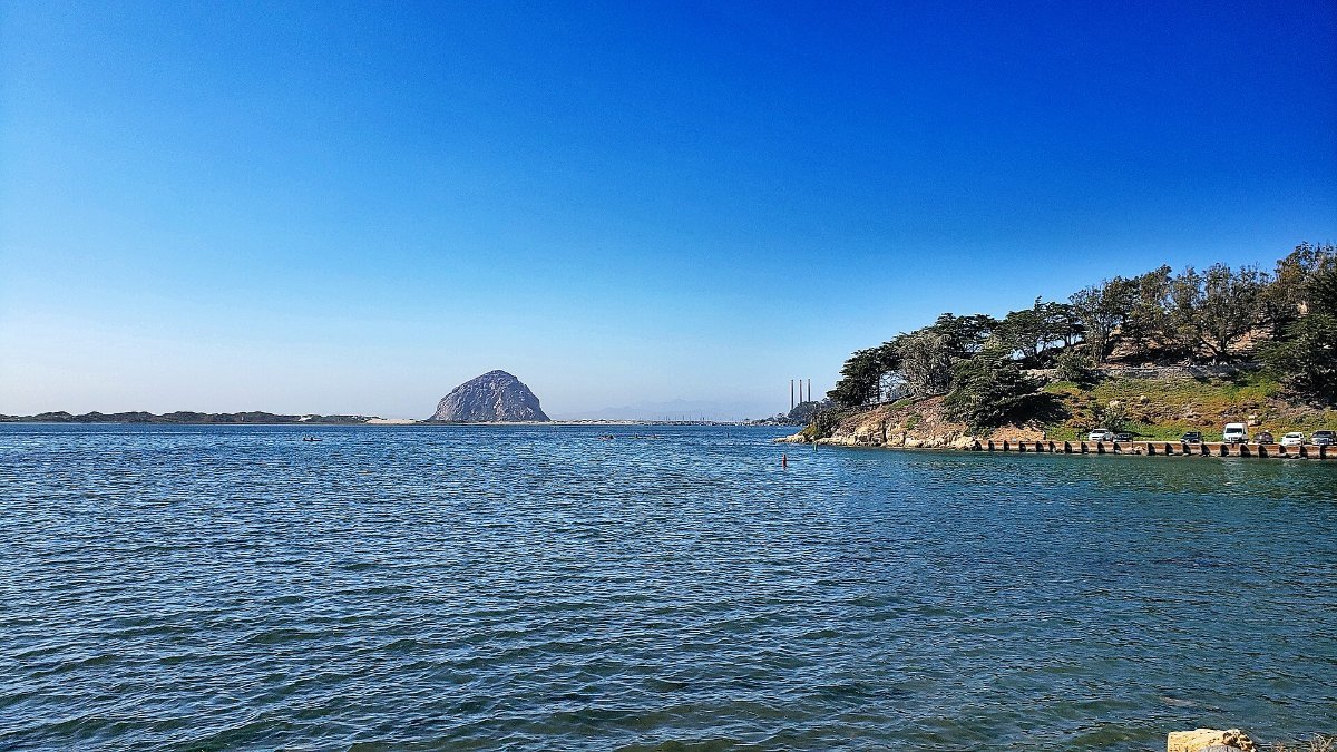
Morro Bay has a 576 foot volcanic plug sitting in the harbour. Cambria and Cayucos are small, cheap and pleasant places to stay.
San Luis Obispo inland is a good overnight with a proper downtown and a Thursday night farmers market that takes over the street.
Day 5: Santa Barbara to San Diego
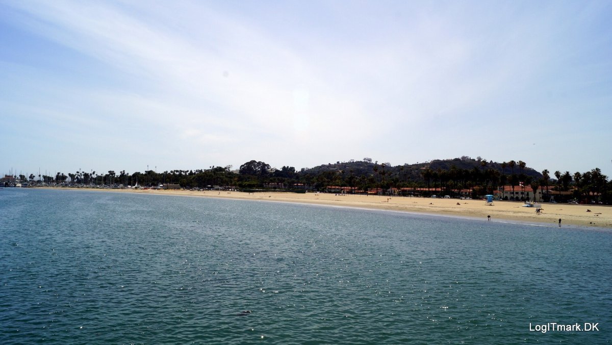
Santa Barbara is white stucco and red tile with mountains behind it and a long beach in front. The courthouse tower is free to climb and gives the best view in town.
South of there the highway leaves the coast and the character changes. Malibu is a strip of beach houses. LA is LA, and Highway 1 through it is mostly traffic.
Better: skip through LA on the freeway, then rejoin the coast at Laguna Beach, which is genuinely beautiful, and finish in La Jolla north of San Diego where there are more sea lions.
Or stop in Santa Barbara and fly home from there, which plenty of people do and don’t regret 🙂
What It Costs and When to Go
September and October are the best months. Warm, clear, and free of the coastal fog that sits over this coast most mornings in June and July. Locals call it May Grey and June Gloom for a reason.
Summer is peak everything. Winter is quiet, green and rainy, with a real chance of road closures.
Budget for expensive accommodation. The coastal towns know exactly what they’ve got. Staying inland a few miles can halve the price.
Common Questions
How long does the Pacific Coast Highway take? Two days if you barely stop, which defeats the purpose. Four to five days is the right pace for San Francisco to San Diego.
Which direction should I drive? North to south, every time. You get the ocean-side lane and every viewpoint is a right turn.
Is Big Sur open? It closes for landslides more often than people expect. Always check Caltrans road conditions before committing to the route.
Do I need to book accommodation ahead? Yes, particularly in Big Sur, Carmel and Santa Barbara. This is not a route to wing in summer.
What’s the single best stop? McWay Falls for the photo, Point Lobos for the walking, and the elephant seals at Piedras Blancas for the sheer strangeness.