Colorado in Summer: A 7-Day Rocky Mountain Road Trip
Colorado has 58 peaks over 14,000 feet, more than any other state, and a summer that lasts about ten weeks. Which makes the timing of this trip fairly important.
In this guide
The loop below runs Denver to the northern Rockies, down through the ski towns to the San Juans in the south west, and back via the sand dunes. About 1,100 miles over seven days.
One warning before you start: altitude is real, and we’ll come back to it.
Day 1: Denver and the Foothills
Fly into Denver, and resist the urge to drive straight into the mountains. Denver sits at 5,280 feet and the mountains you’re heading to are twice that. One night acclimatising genuinely helps.
Red Rocks Amphitheatre is 30 minutes out, a natural sandstone bowl turned into the best concert venue in America. If there’s a show on, buy a ticket for anything. If not, it’s open in the day and locals run the steps.
Boulder is 45 minutes north, sits under the Flatirons, and is the pleasant, slightly smug college town where everyone is unreasonably fit.
Drink water. Start now, keep going all week.
Days 2 and 3: Rocky Mountain National Park
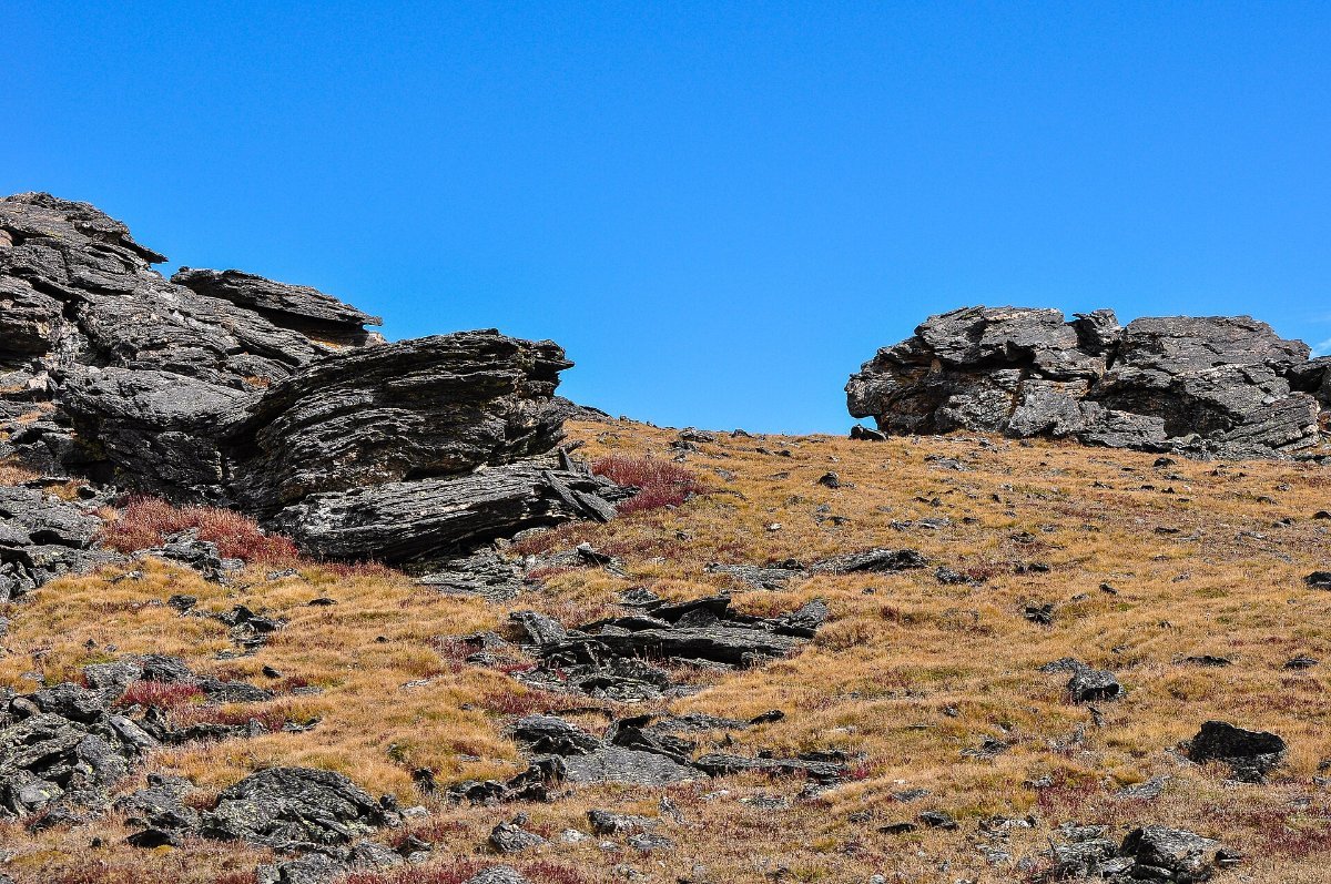
Estes Park is the gateway town and about 90 minutes from Denver. It’s touristy and it works.
Trail Ridge Road is the headline: 48 miles crossing the park, topping out above 12,000 feet, with eleven miles above the treeline. It’s the highest continuous paved road in the United States and it closes with snow, typically opening late May and shutting in October.
Bear Lake is the easy classic, a flat loop round a lake with peaks reflected in it. The corridor needs a timed entry permit in summer, so book ahead.
Emerald Lake is the walk I’d pick, about 3.5 miles round trip past three lakes. Moderate, and gorgeous the whole way.
Elk are everywhere and in September the bulls bugle, which is an extraordinary noise. Keep well back.
▶ Watch This Before You Go
Day 4: Over to Aspen
Drive south west through the mountains. Independence Pass is the direct route into Aspen at 12,095 feet, narrow, no barriers, and closed in winter. It is spectacular and not for nervous drivers.
Aspen itself is very rich and very pretty, and you don’t have to buy anything to enjoy walking around it.
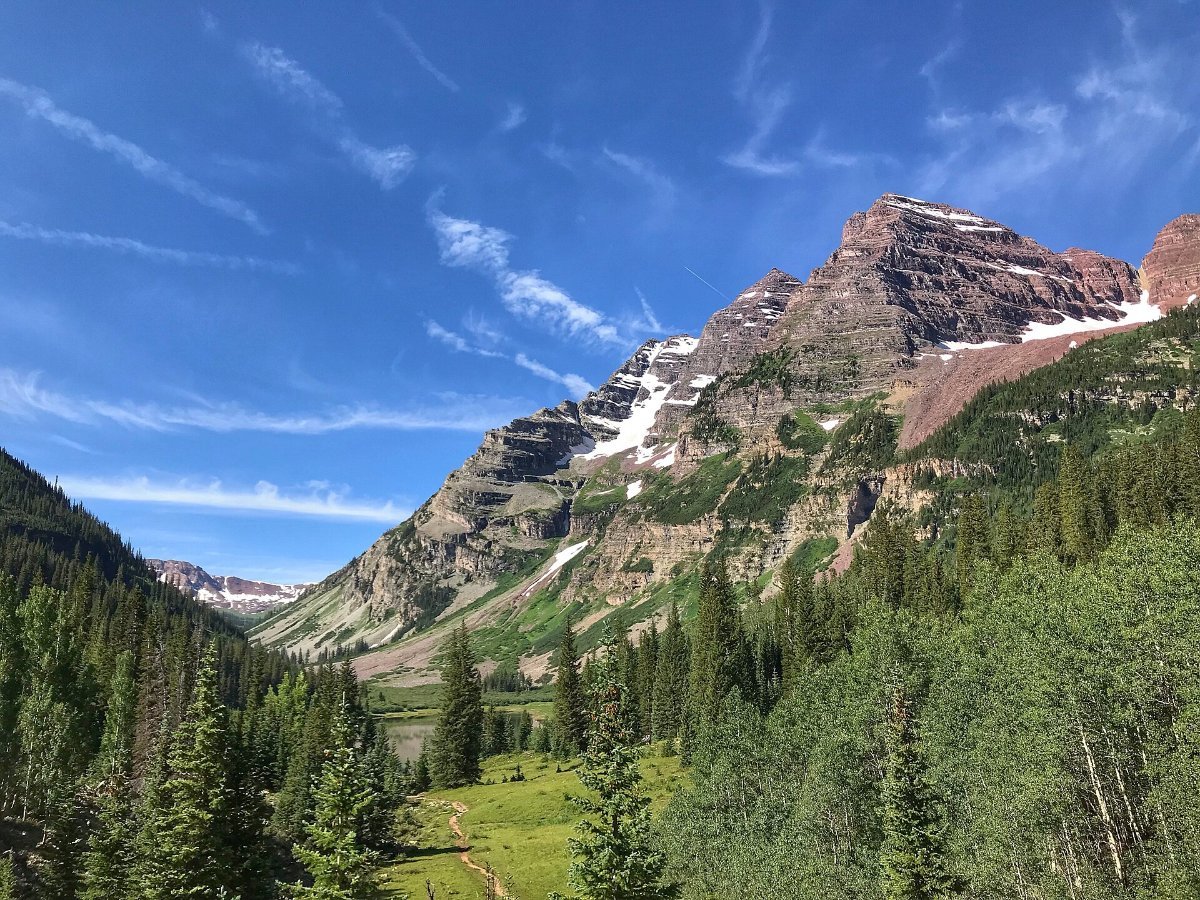
The Maroon Bells are the reason to come. Two matching maroon peaks reflected in a lake, and reportedly the most photographed mountains in North America.
Access is restricted: in summer you take a shuttle from Aspen Highlands or book a rare vehicle permit for very early or late. Sunrise there is worth the alarm.
Day 5: The San Juans and Telluride
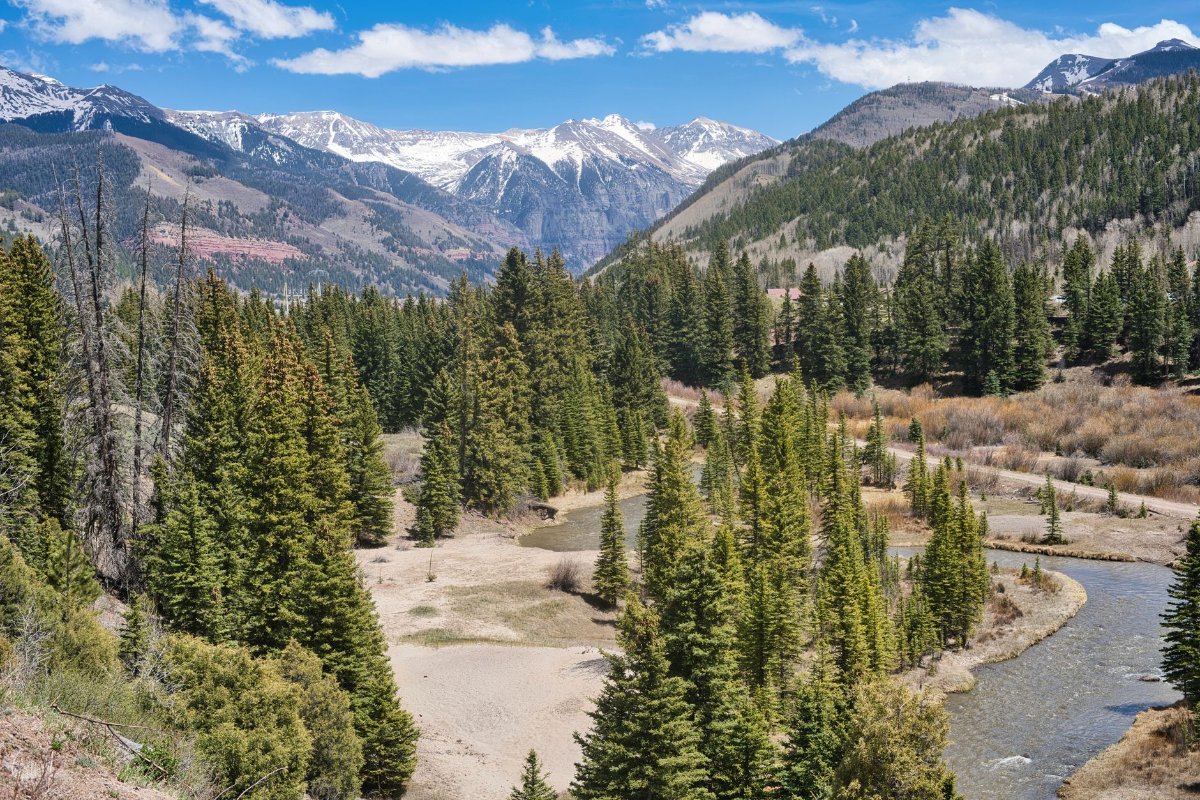
Long drive south west into the San Juan mountains, which are the wildest range in the state.
Telluride sits at the head of a box canyon with cliffs on three sides and a waterfall at the end. There’s a free gondola linking the town to Mountain Village, which runs until midnight and is the best free ride in Colorado.
Bridal Veil Falls at the end of the valley is the tallest free-falling waterfall in the state, 365 feet, and you can walk or drive a rough road to the base.
The town is a former mining camp and looks it, in a good way. Far less polished than Aspen.
Day 6: The Million Dollar Highway
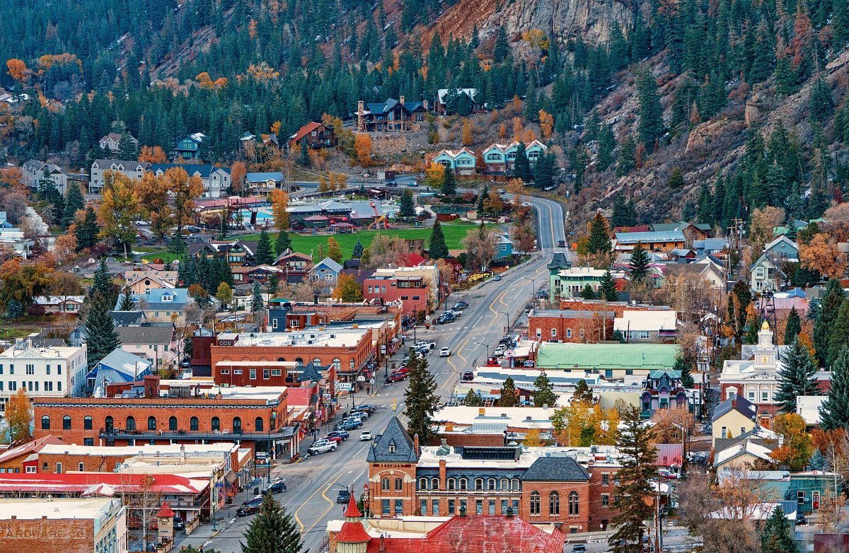
Twenty five miles between Ouray and Silverton on Highway 550, and one of the great drives anywhere. Cliff on one side, no guardrail on the other, hairpins, and old mine workings scattered up the slopes.
Nobody agrees why it’s called the Million Dollar Highway. Best story is that the roadbed contains gold ore worth that much.
Ouray calls itself the Switzerland of America and has hot springs in the middle of town, which after a week of driving is exactly right.
Silverton at the other end is a former mining town at 9,300 feet with dirt streets. The narrow gauge steam railway runs down to Durango and is a proper day out if you have the time.
Day 7: Great Sand Dunes and Back
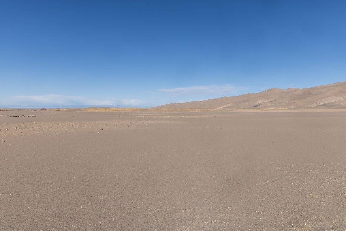
Head east and you hit something genuinely odd: North America’s tallest sand dunes, 750 feet high, sitting at the foot of 4,000 metre peaks.
You can walk up them, which is hard work in loose sand, and sledge down on rented boards. In late spring Medano Creek runs at the base and children play in it.
The sand gets to 60 degrees Celsius on a summer afternoon, so go early or late. Bare feet are a genuinely bad idea at midday.
From there it’s about four hours back to Denver, or two to Colorado Springs if you want to stop at Garden of the Gods first.
Garden of the Gods, If You Have an Extra Half Day
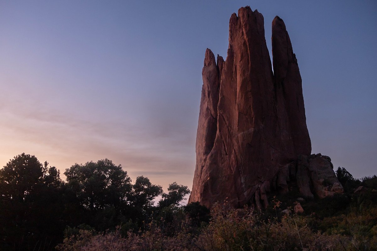
Red sandstone fins standing vertically out of the ground on the edge of Colorado Springs, with Pikes Peak behind. It’s free, it has paved paths, and it takes an hour.
Pikes Peak itself you can drive up or take the cog railway, to 14,115 feet. It’s one of the few fourteeners with a road, and the view from the top inspired the words to America the Beautiful.
The Altitude Talk
This matters more than people expect. Above about 8,000 feet a lot of visitors get headaches, poor sleep and breathlessness. Above 12,000, which several parts of this route reach, it hits harder.
What helps: spend the first night lower, drink much more water than usual, go easy on alcohol for a couple of days, and don’t plan a hard hike on day one.
What doesn’t help: pretending you’re fine because you’re fit. Fitness has very little to do with it.
When to Go
Mid June to mid September. Trail Ridge Road and the high passes are only reliably open in that window, and wildflowers peak in July.
Afternoon thunderstorms are near-daily in July and August. They build fast and lightning above the treeline is a genuine danger, so start hikes early and be down by two.
Late September brings the aspens turning gold, which is Colorado’s answer to New England and arguably better 🙂
Common Questions
How many days do you need for a Colorado road trip?
Seven for this loop. Five works if you skip the San Juans and stay in the northern half.
Do I need a 4×4?
No for everything here. Yes if you want the old mining roads around Ouray and Silverton.
Do I need timed entry for Rocky Mountain National Park?
In summer, yes, and separately for the Bear Lake corridor. Book as soon as they release.
Is Colorado expensive?
The ski towns are, badly, in both winter and summer. Staying in Estes Park, Ouray, Silverton or Salida costs a fraction of Aspen or Telluride.
What’s the best month?
July for wildflowers and everything being open, late September for aspen colour and thinner crowds.