Great Smoky Mountains for First-Timers: Where to Go and What to Skip
Here’s a fact that surprises people. The Great Smoky Mountains is the most visited national park in America, by miles. Around 13 million people a year, roughly double the Grand Canyon.
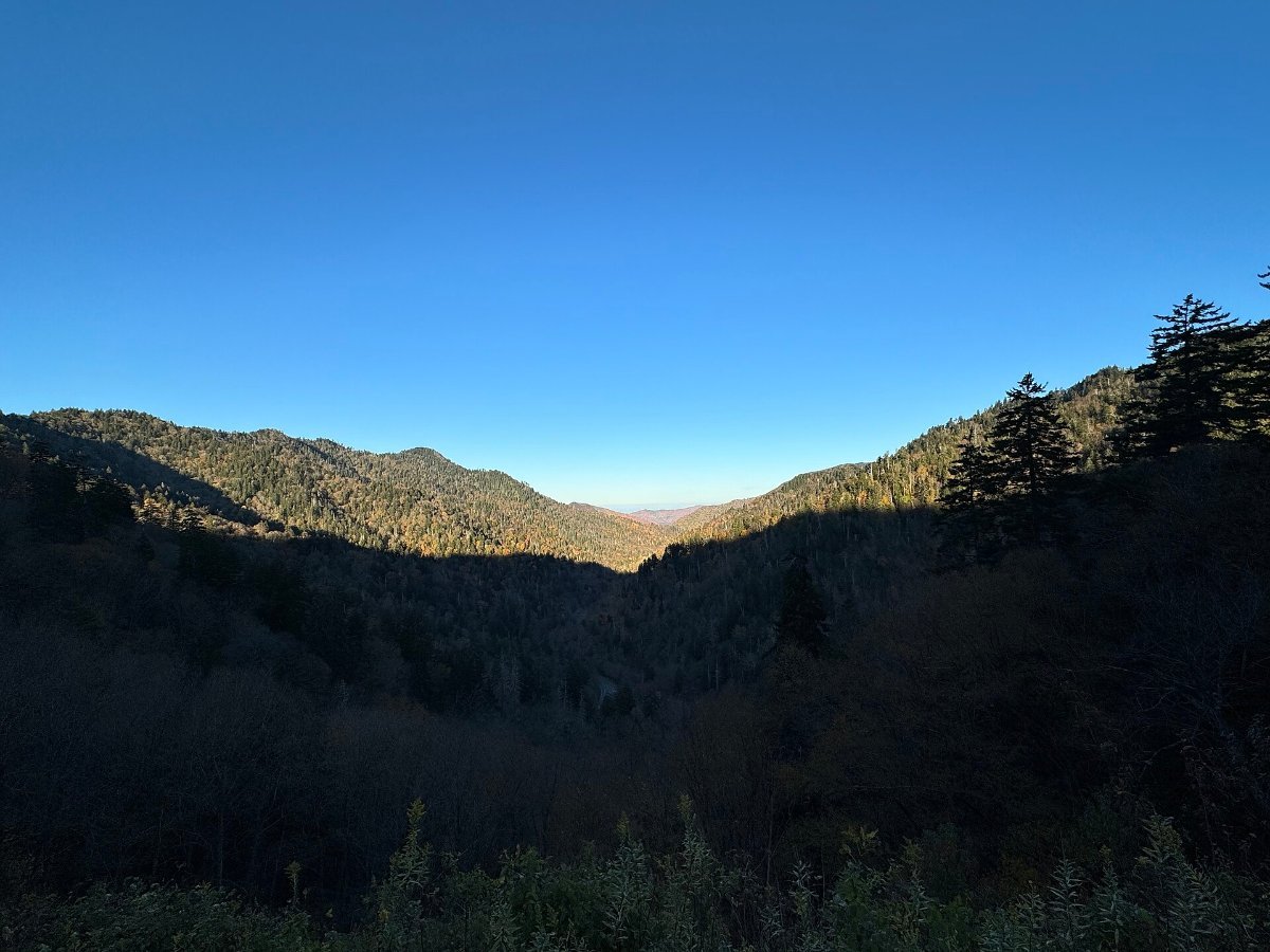
In this guide
Partly that’s because it’s free, which almost no other big park is. Partly it’s because two thirds of the American population lives within a day’s drive.
Which means the Smokies are gorgeous and, in the wrong week, absolutely heaving. Here’s how to get the first without the second.
Pick Your Side First
The park straddles Tennessee and North Carolina, and the two sides feel completely different.
Tennessee side means Gatlinburg and Pigeon Forge. Gatlinburg is a mountain town that has become a strip of pancake houses, moonshine tastings and a Ripley’s aquarium. Pigeon Forge next door has Dollywood and go-kart tracks. It’s loud, it’s fun if you’re in the mood, and it is not remotely subtle.
North Carolina side means Cherokee and Bryson City. Quieter, smaller, considerably more relaxed, and closer to the Blue Ridge Parkway’s southern end.
Honest advice: stay on the Tennessee side if you have kids or want restaurants, the North Carolina side if you want to hear the river at night. I know which I’d pick.
Cades Cove: Worth It, With Conditions
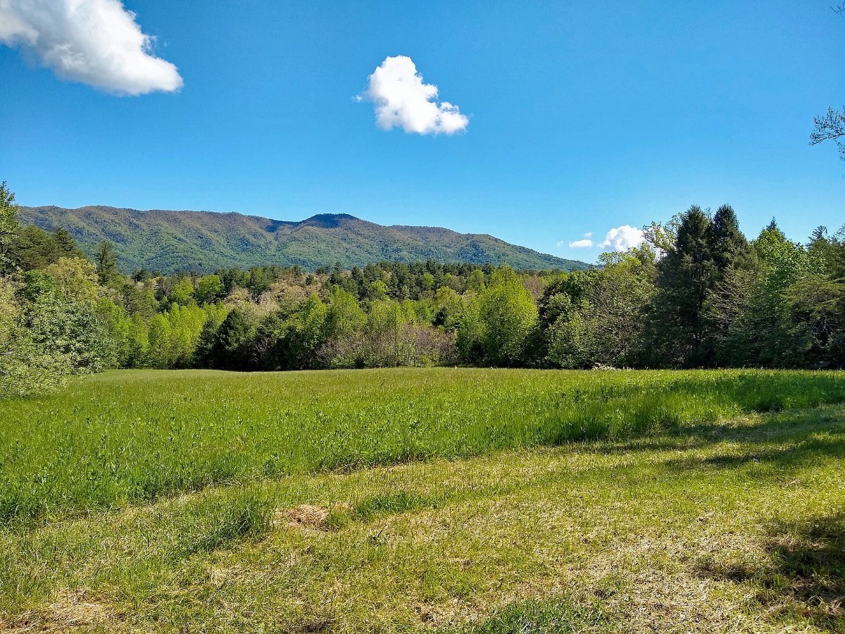
An 11 mile one-way loop around a broad green valley ringed by mountains, dotted with 19th century cabins and churches from the community that lived here before the park.
It’s also the best wildlife viewing in the park. Deer constantly, wild turkey, and black bears often enough that people slam on the brakes and cause chaos.
The catch is that loop can take three hours in summer. Three hours to drive eleven miles. It is a genuinely miserable way to spend an afternoon.
The fix: go at dawn, or go on a Wednesday from May to September when the loop is vehicle-free until 10am and you can cycle it. That’s the single best thing you can do in the entire park, and hardly any visitors know about it.
▶ Watch This Before You Go
Clingmans Dome, the Roof of the Park
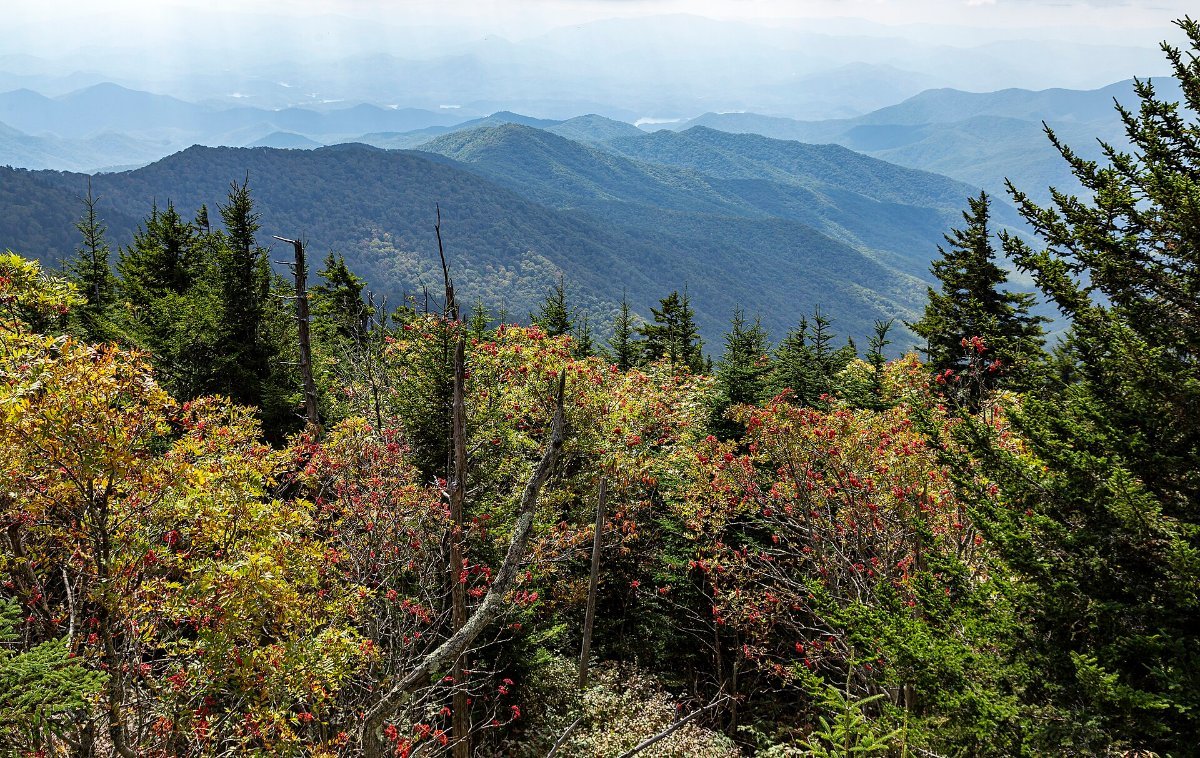
At 6,643 feet this is the highest point in the park and the third highest east of the Mississippi. There’s a spiral concrete ramp at the top that looks like a UFO landed in 1965, which it more or less did.
The walk up from the car park is half a mile, paved, and steeper than it looks. People underestimate it constantly.
Be honest with yourself about the weather. This spot is in cloud roughly two days out of three, and there is nothing more deflating than climbing that ramp into a wall of white. Check the webcam before you drive up.
Note the road closes December through March, and the summit is officially called Kuwohi now, restored to the Cherokee name in 2024.
Newfound Gap Road, the Spine
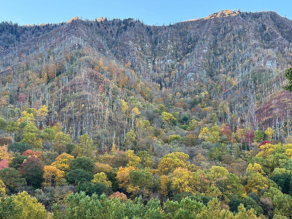
The main road across the park, 33 miles from Gatlinburg to Cherokee, climbing to 5,046 feet at the gap itself.
Driving it is like going from Georgia to Canada in half an hour, ecologically speaking. The forest type changes several times as you climb, which is genuinely the reason this park has more tree species than all of northern Europe.
Stop at the Newfound Gap overlook where the Appalachian Trail crosses the road, and at Morton Overlook for sunset. Both take five minutes.
Roaring Fork, and Why It Beats the Famous Stuff
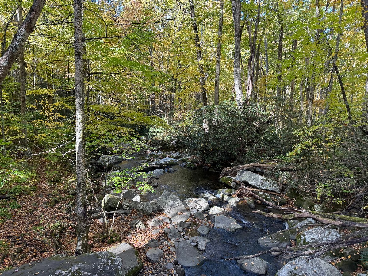
A 5.5 mile one-way loop just outside Gatlinburg, narrow, twisting, and running through proper old growth forest with a creek beside the road most of the way.
There are old cabins, a grist mill, and trailheads for Rainbow Falls and Grotto Falls, the latter of which you can walk behind.
No buses, no caravans, no trailers, which keeps the traffic down. It’s my favourite hour in the park and it’s ten minutes from the busiest town on the boundary.
Closed in winter. Also worth doing in the rain, when the forest looks its absolute best.
The Waterfalls Are the Point
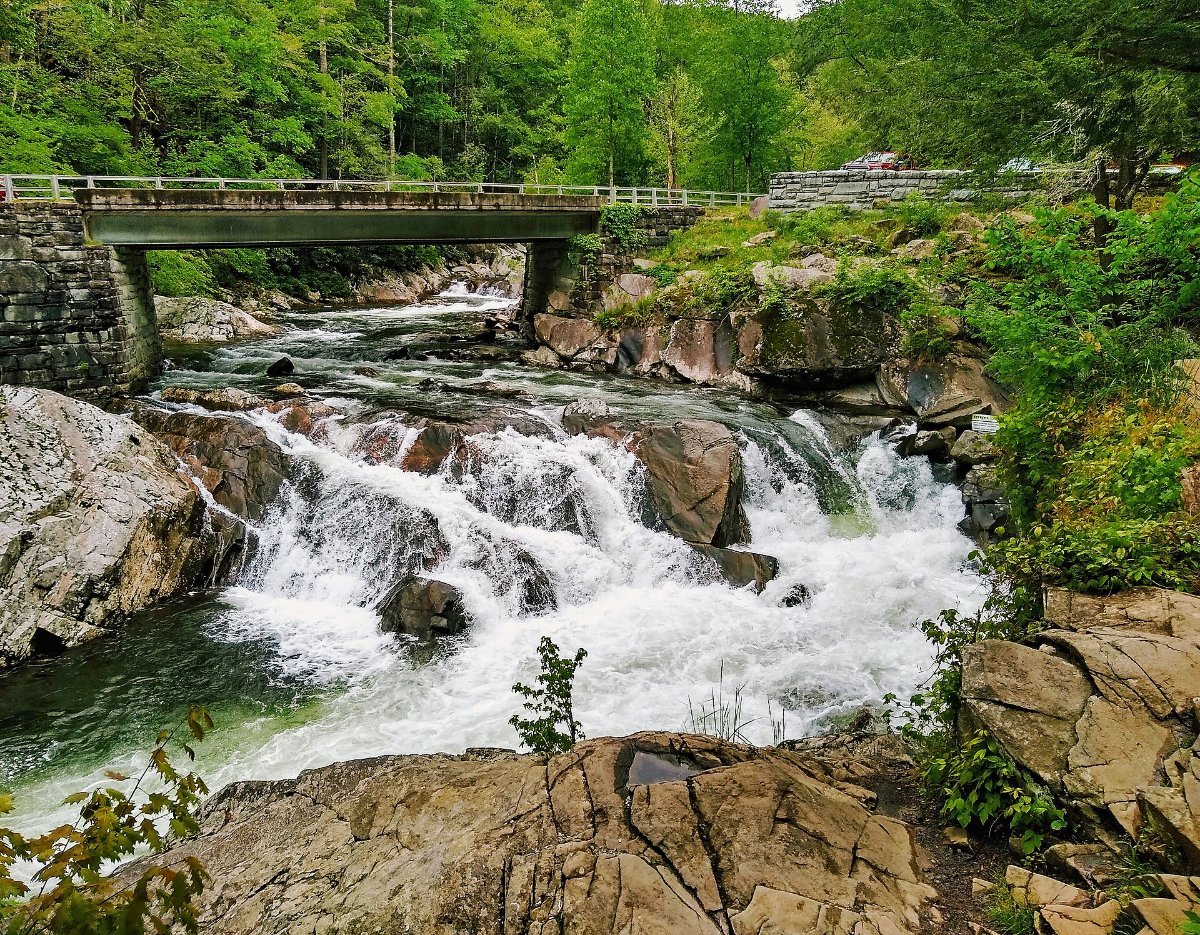
The Smokies get up to 85 inches of rain a year in the high country, which is nearly rainforest territory, and all of it has to come down somewhere.
Laurel Falls is paved and easy, 2.6 miles round trip, and consequently packed. Grotto Falls is the one you walk behind. Abrams Falls in Cades Cove is short but powerful and the pool below it has drowned people, so admire and stay out.
Rainbow Falls is a proper hike, 5.4 miles and a solid climb, and on a sunny afternoon it produces the rainbow it’s named after.
What to Skip
The tourist strips, unless that’s specifically what you came for. Gatlinburg’s aquarium and haunted houses are fine and they are not why you drove to a national park.
The paid “scenic” chairlifts and skybridges just outside the boundary. The views from inside the park are better and free.
And, controversially, mid-October weekends. The colour is magnificent and the traffic on Newfound Gap Road turns into a car park. Go midweek or go a fortnight earlier.
Autumn, Since Everyone Asks
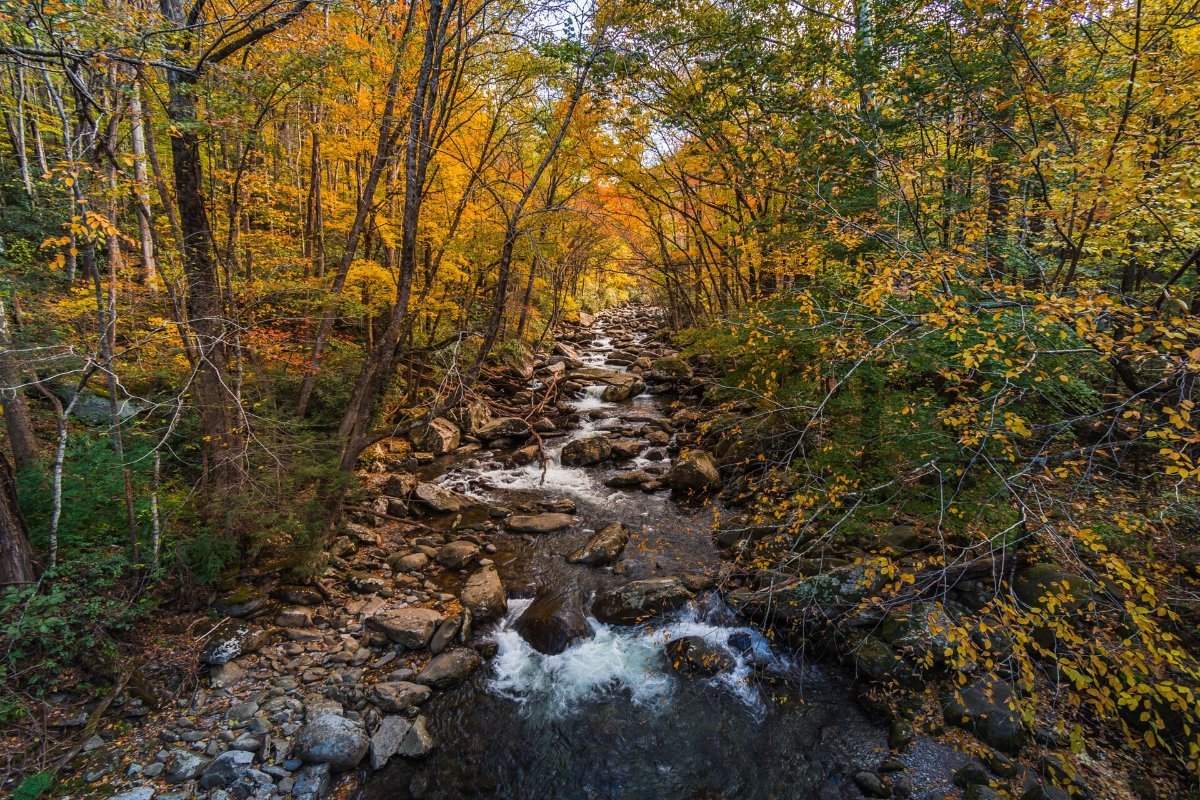
Colour starts at the top in early October and works downhill through the month, finishing in the valleys in early November. The elevation range here means there’s decent colour somewhere for about five weeks.
That’s a longer window than most of New England and it’s why the Smokies are such a reliable autumn trip.
Spring is the underrated season though. Wildflowers from March, waterfalls at full flow, and about a third of the visitors.
The Practical Bits
The park is free to enter, but since 2023 you need a parking tag if you leave a car anywhere for more than 15 minutes. Five dollars a day, buy it online or at a visitor centre. Rangers do check.
Phone signal is patchy to non-existent. Download offline maps before you go in.
Bears are genuinely everywhere, around 1,900 in the park. Keep 50 metres away, never leave food in the open, and if one approaches, make yourself big and loud rather than running :/
Common Questions
How many days do you need?
Two full days covers the highlights. Three lets you add proper hikes and both sides of the park.
Is the Great Smoky Mountains free?
Entry is free, uniquely among the big parks, because of a condition attached when Tennessee transferred the road. Parking tags are the exception.
Where are you most likely to see bears?
Cades Cove at dawn or dusk, easily. Roaring Fork and the Gatlinburg boundary are also good.
Tennessee or North Carolina side?
Tennessee for amenities and Cades Cove, North Carolina for quiet and the Blue Ridge Parkway connection.
Why is it called Smoky?
The blue haze is real. The trees release organic compounds that scatter light, and the Cherokee called it shaconage, place of blue smoke, long before anyone built a road.