7 Beautiful USA Road Trips to Take at Least Once
America is built for this. Long distances, cheap fuel by most of the world’s standards, and roads that were often laid out specifically so people would drive them for fun.
In this guide
These seven are the ones worth rearranging a year for. For each: the distance, how many days it actually takes rather than how fast you could do it, and the thing that will catch you out.
1. Pacific Coast Highway, California
San Francisco to Los Angeles, about 500 miles, four days.
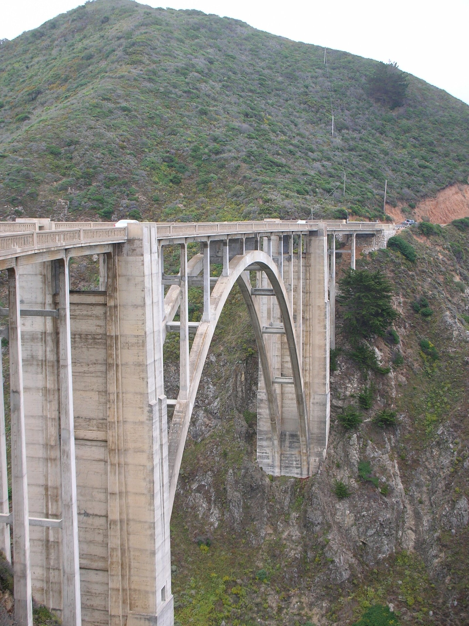
The famous one, and it earns it. Highway 1 clings to the cliff edge for most of the way between Carmel and San Simeon, with the Pacific on one side and the Santa Lucia range on the other.
Drive it north to south. That puts you in the ocean-side lane, which matters enormously because the pullouts are on that side and you’re not crossing traffic to use them.
The catch: Big Sur closes. Landslides take out sections of Highway 1 regularly, sometimes for a year or more. Check Caltrans before you commit to the route, not the week before, the day before. Fog is also a real factor in June and July, when the coast can sit under grey all day while it’s 85F ten miles inland.
2. Going-to-the-Sun Road, Montana
50 miles, one day, July through early October only.
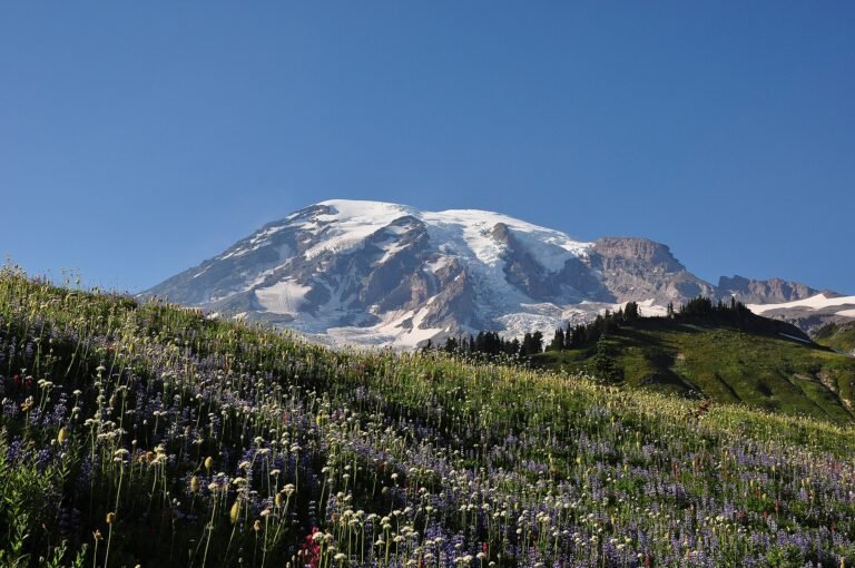
The shortest drive on this list and arguably the most spectacular. Fifty miles across Glacier National Park, over Logan Pass at 6,646 feet, with the road cut into the mountainside and nothing much between you and the drop.
It takes two hours without stopping and nobody drives it without stopping. Give it a full day.
Two catches, both important. The road doesn’t fully open until late June or July because the snow removal takes months, and it closes again in October. And Glacier now runs a vehicle reservation system in peak season, which you need in addition to park entry and which releases on a set schedule. Book it the day it opens.
Vehicles over 21 feet long or 8 feet wide are not allowed on the alpine section. That rules out most RVs.
3. Utah’s Mighty 5
Loop from Las Vegas, about 900 miles, seven days.
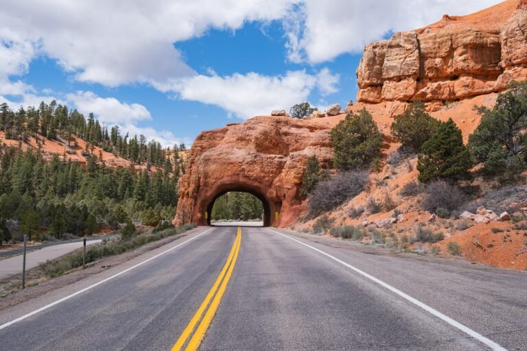
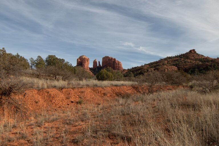
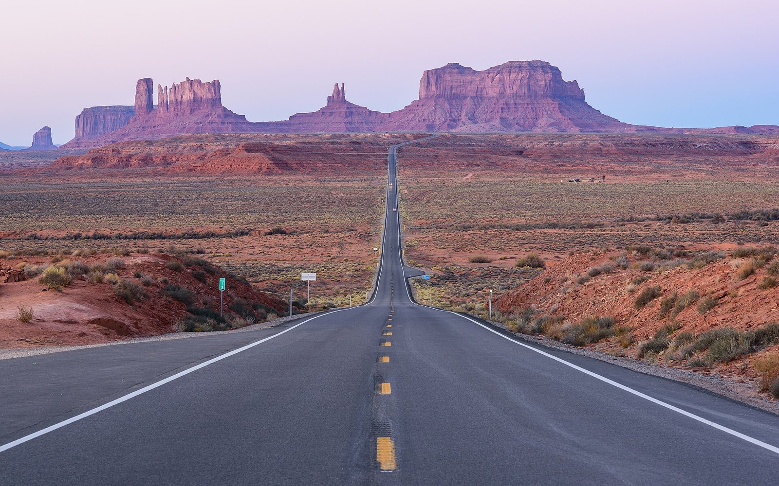
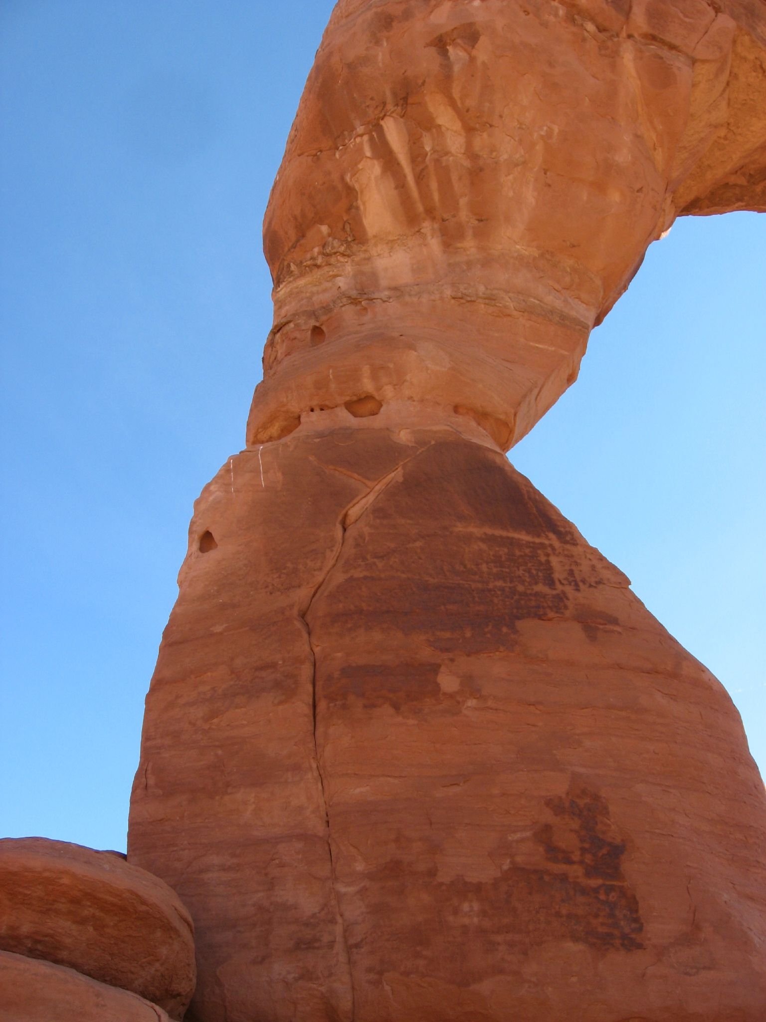
Five national parks in one state: Zion, Bryce Canyon, Capitol Reef, Arches and Canyonlands. Nowhere else in the country packs that much landscape into one drive.
Scenic Byway 12 between Bryce and Capitol Reef is the best stretch, and the section over Hogback Ridge has drops on both sides of the road with no guardrail. It’s fine. It is also memorable.
The catch is heat and crowds. July and August hit 100F in Arches and Canyonlands, and Zion’s shuttle queues run long. April, May, September and October are much better. Zion requires permits for Angels Landing by lottery, and timed entry rules at Arches change year to year, so check each park’s own site.
4. The Blue Ridge Parkway
469 miles, three days, best in October.
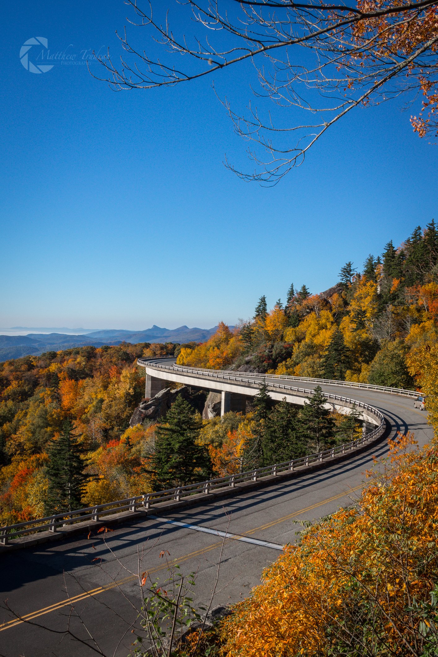
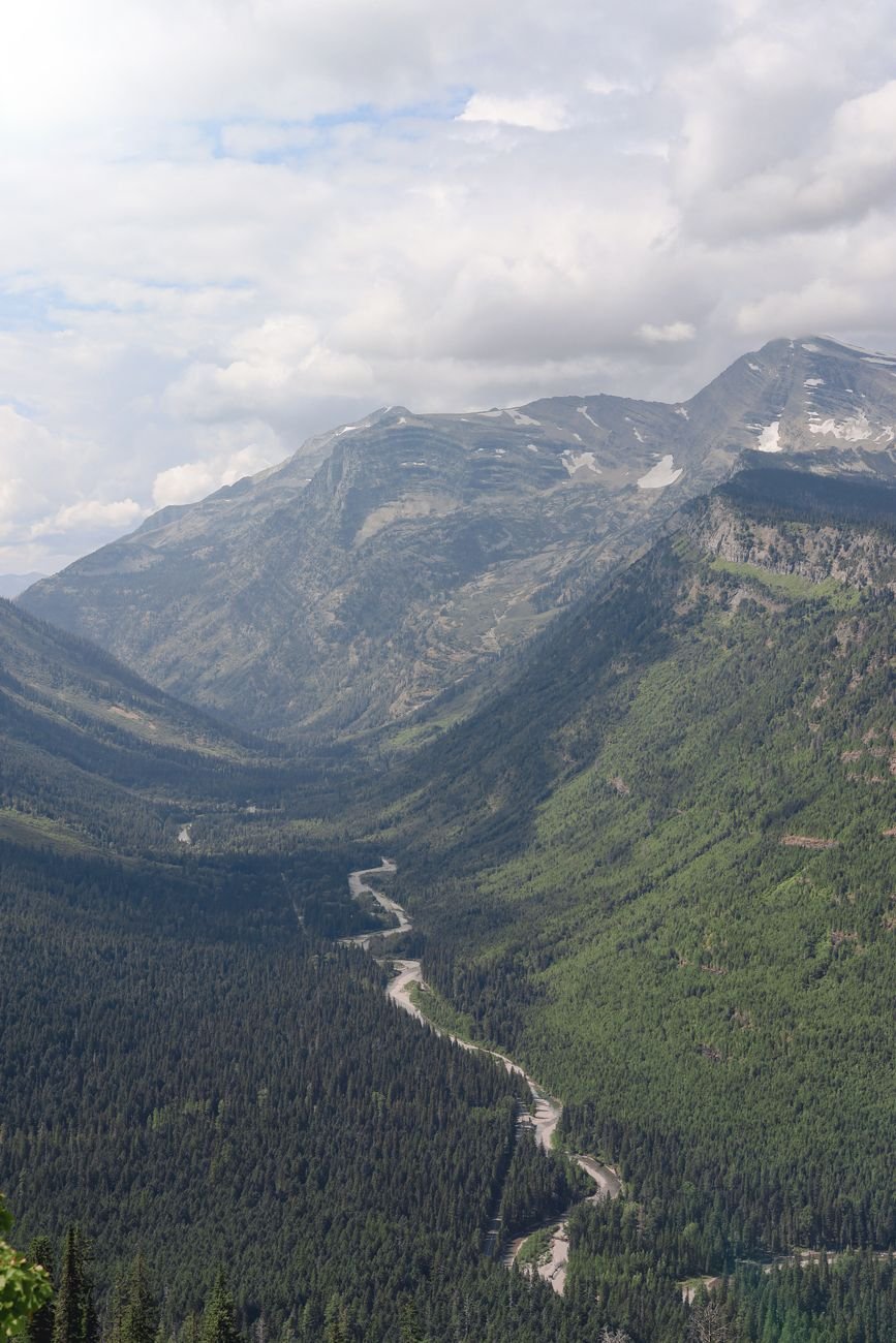
Virginia to North Carolina along the spine of the Appalachians, with no commercial traffic allowed and a 45mph speed limit. It is not a road for getting anywhere. It’s a road for the sake of the road.
There are 369 overlooks. You will not stop at all of them. The North Carolina end around Asheville, Grandfather Mountain and the Linn Cove Viaduct is the most dramatic. Milepost 300 to 380 is the single best day if you only have one.
Catch: there’s very little fuel or food actually on the parkway, so you drop off it into towns. And sections close for ice from November through March, sometimes well into spring at higher elevations.
5. Coastal Maine, Route 1
Portland to Acadia, about 170 miles, three days.
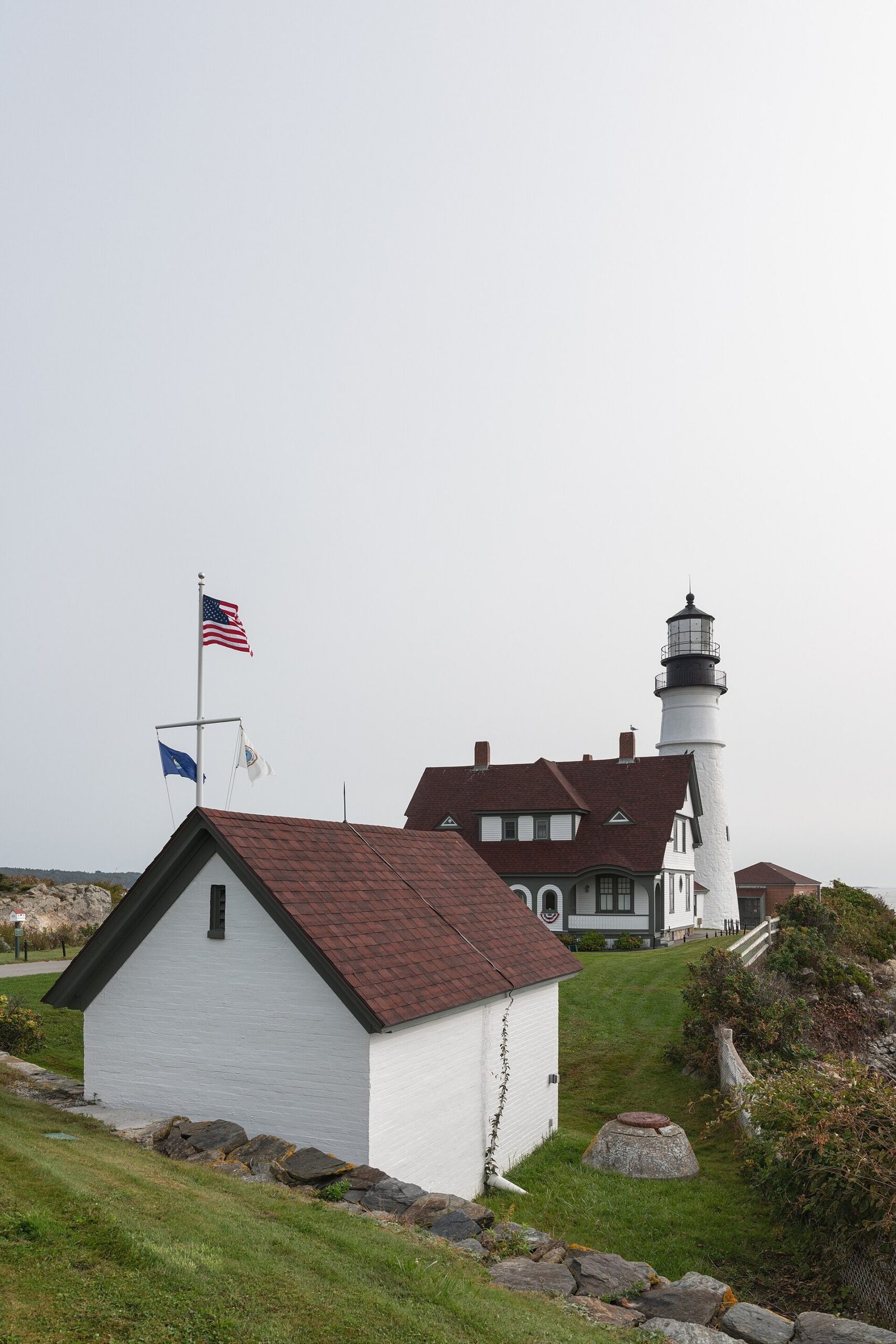
Short, slow, and completely different in character to everything else here. Route 1 runs up the coast through a sequence of harbour towns, each with a lighthouse, a lobster pound and a shop selling things made of rope.
Camden, Rockland and Bar Harbor are the obvious stops. The detours down the peninsulas are where it gets good: Pemaquid Point, Port Clyde, Deer Isle. Each is a dead end and each is worth the hour.
Acadia at the far end is the payoff. Cadillac Mountain sees the first sunrise in the United States for part of the year and needs a vehicle reservation to drive up.
Catch: Route 1 in August is slow in a way that is genuinely frustrating, because it’s a two-lane road carrying the whole state’s summer traffic. September is the answer.
6. The Overseas Highway, Florida
Miami to Key West, about 160 miles, two days.
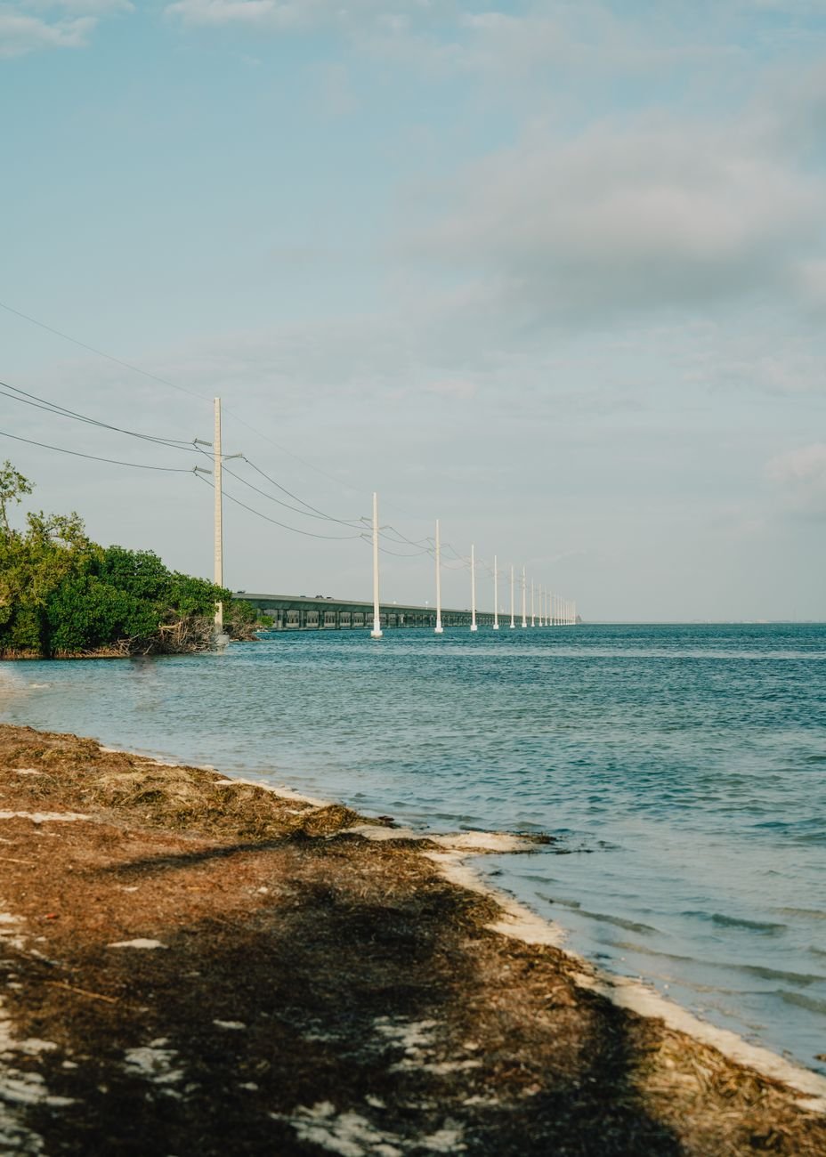
113 miles of it is built on bridges over open water, including the Seven Mile Bridge, and there are stretches where there is nothing on either side but ocean. It’s a strange and brilliant piece of road.
Stop at Islamorada, Bahia Honda State Park for the beach, and the old Seven Mile Bridge section that’s now a walking and cycling path. Key Largo has the glass-bottom boats out to the reef.
Catch: it’s one road in and one road out, so a crash can strand you for hours. Hurricane season from June to November occasionally closes it entirely. And Key West itself gets very busy when cruise ships are in, which is most days in winter.
▶ Watch This Before You Go
7. Route 66, what’s left of it
Chicago to Santa Monica, about 2,400 miles, two weeks.
Route 66 was decommissioned in 1985 and no longer exists as a continuous highway. What exists is a series of surviving alignments, frontage roads and small towns strung along the interstates that replaced it, and following it properly takes planning and a good map.
That’s also the appeal. The stretch through Arizona from Seligman to Kingman is the longest intact section. Oklahoma has the best preserved towns. New Mexico has the best food by a distance.
Do it in two weeks or don’t do it. A week means driving the interstates with occasional detours, which misses the point entirely.
Planning any of these
Book accommodation ahead on the national park routes. Lodging inside and around Glacier, Zion and Acadia sells out months in advance for summer, and the nearest alternative can be ninety minutes away.
Check seasonal closures first. Going-to-the-Sun, the high Blue Ridge Parkway and parts of Utah’s byways all close for snow. The window is shorter than most itineraries assume.
Allow half the miles you think. Every one of these roads takes twice as long as the map says, because you will stop, and the stopping is the trip.
Download offline maps. Big Sur, Glacier, the Utah byways and most of Route 66 have long stretches with no signal at all.
Common questions
What’s the best USA road trip for a first-timer?
The Pacific Coast Highway. It’s well signposted, there’s somewhere to stay every forty miles, and it delivers from the first hour.
What’s the best time of year for an American road trip?
September and early October. Summer crowds have gone, mountain roads are still open, and the weather is at its most reliable almost everywhere.
How much should I budget per day?
Fuel and a mid-range motel runs roughly $150 to $250 a day for two people outside peak season, more near national parks where lodging is limited.
Do I need an SUV?
No. Every road here is paved and any normal car handles it. The only exceptions are a few unpaved park spurs you can simply skip.
Which one is shortest?
Going-to-the-Sun Road at 50 miles, which you can drive in a day from a base in Whitefish or West Glacier.