The Blue Ridge Parkway in Fall: The Only Itinerary You Need
469 miles, no traffic lights, no lorries, no billboards, and a speed limit of 45mph that you will resent for about an hour and then stop noticing entirely.
In this guide
- What the Parkway Actually Is
- The Virginia Half: Mileposts 0 to 216
- Crossing into North Carolina: Grandfather Mountain
- Asheville, the Obvious Base
- Craggy Gardens and the High Country
- Mount Mitchell, the Highest Point in the East
- The Waterfalls Just Off the Road
- When the Colour Actually Peaks
- How Long You Actually Need
- Common Questions
The Blue Ridge Parkway is the best road trip in the eastern United States and it is at its absolute peak for roughly three weeks in October. Which is also when everyone else turns up, so timing matters more than usual.
Here’s how to actually do it, north to south, without spending your whole holiday in a car park at an overlook.
What the Parkway Actually Is
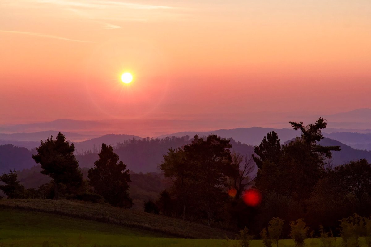
It’s a national park that happens to be shaped like a road. That framing helps, because it explains most of the quirks.
It runs from Shenandoah National Park in Virginia down to the Great Smoky Mountains in North Carolina, following the ridgeline the whole way. Everything is measured in mileposts, counting up from zero in the north, and every guide you read will refer to them, so get used to it quickly.
There is no fee to drive it. There are also very few petrol stations, almost no food, and long stretches with no phone signal. It was built as a scenic road during the Depression and it has stayed deliberately undeveloped ever since.
The 45mph limit is not a suggestion, and it is enforced. It also happens to be about right, because the road bends constantly and deer wander onto it with total confidence.
The Virginia Half: Mileposts 0 to 216
Virginia is the gentler half. Rolling farmland, split rail fences, meadows, and a lot of small stops that take ten minutes each.
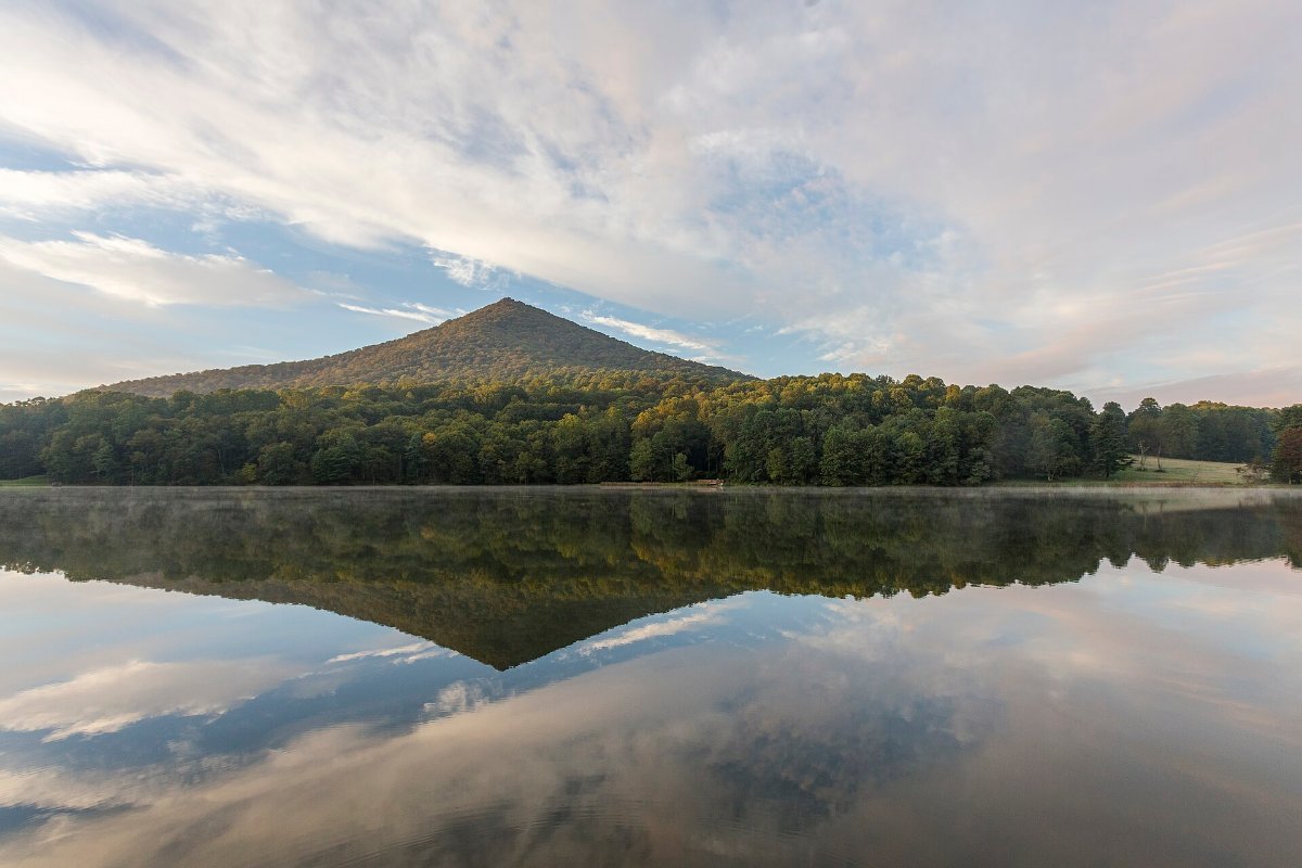
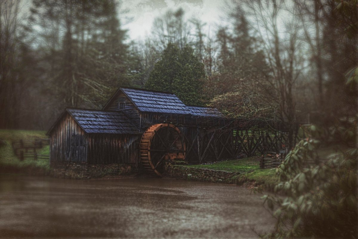
The Peaks of Otter around milepost 86 is the standout, with a lake, a lodge and a proper climb up Sharp Top if you want one. Mabry Mill at milepost 176 is the single most photographed spot on the entire parkway, a working grist mill with a millpond in front of it, and yes it is worth the stop even with the crowd.
Humpback Rocks near the northern end has a short steep walk to a rock outcrop with a huge view, and it takes about an hour round trip. Otter Creek and the James River are the lowest point on the whole road, which is a strange thing to notice and yet you do.
IMO the Virginia half is the one people rush, and they shouldn’t. It’s less dramatic but the colour here is arguably better, because you’re closer to the trees rather than looking down at them.
▶ Watch This Before You Go
Crossing into North Carolina: Grandfather Mountain
The character changes about halfway. Higher, rockier, more serious.
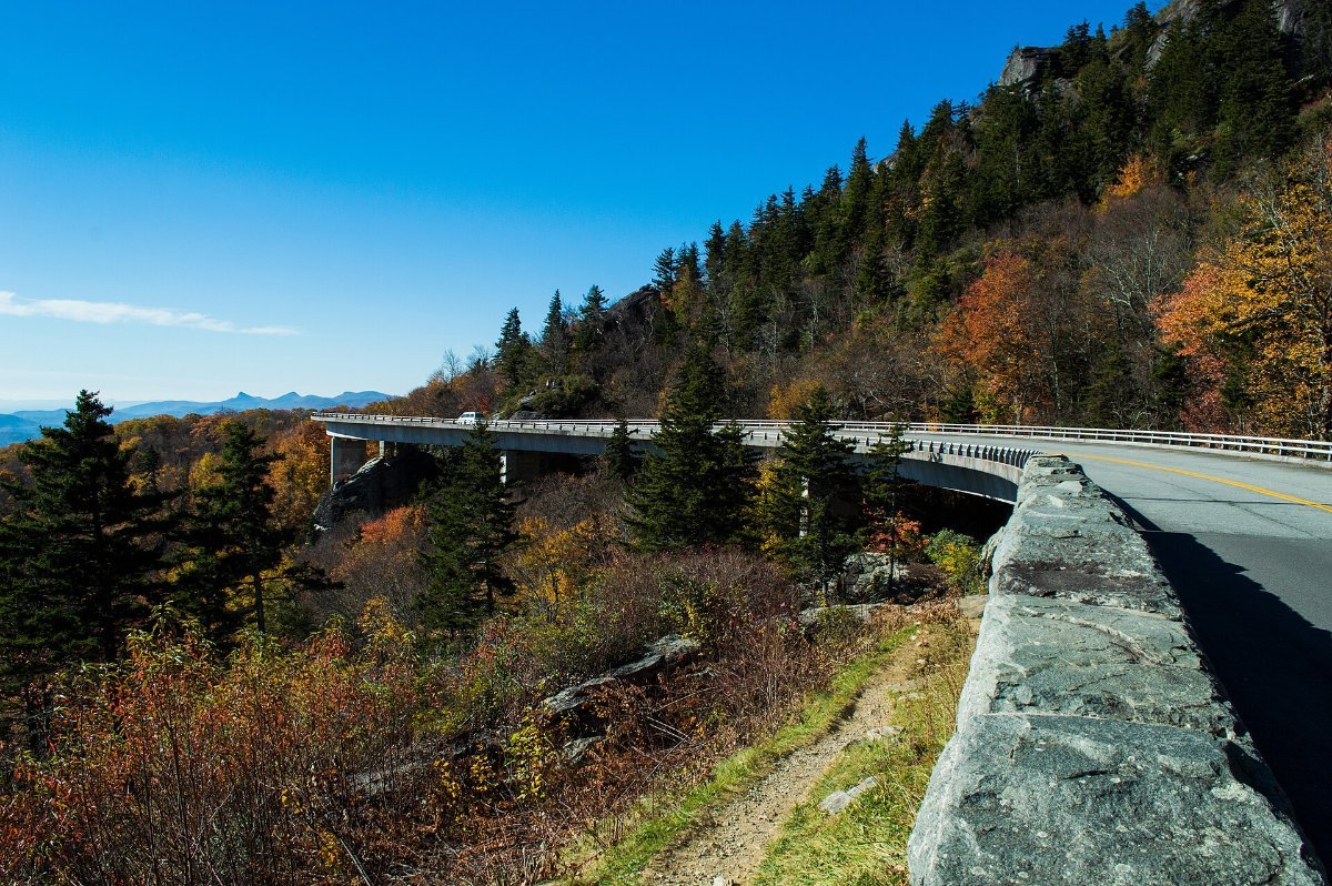
The Linn Cove Viaduct at milepost 304 is the famous bit, a curving concrete bridge that wraps around the flank of Grandfather Mountain because they could not cut into it. It was the last section of the entire parkway to be finished, in 1987, more than fifty years after work started.
Park at the visitor centre just south of it and walk back under the viaduct on the short trail. You get the underside view, which almost nobody bothers with, and it is more impressive than the photo from the overlook.
Linville Falls a few miles on is the best short waterfall walk on the parkway. Twenty minutes to the upper view, an hour if you go down to the gorge.
Asheville, the Obvious Base
Asheville sits right on the parkway at roughly milepost 382 and it is where most people sleep, eat and do their laundry. Reasonable, because the alternative is a lodge you had to book in March.
It’s a proper small city with an absurd number of breweries, a good food scene and the Biltmore Estate on its edge, which is the largest private house in America and priced accordingly. Worth it once, in my opinion, mostly for the gardens.
Book Asheville early for October. The whole town knows exactly what leaf season is worth and prices accordingly.
Craggy Gardens and the High Country
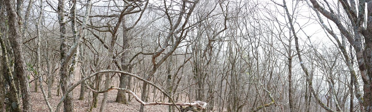
Just north of Asheville the parkway climbs above 5,000 feet and the vegetation changes to something that looks more like Scotland than the American south.
Craggy Gardens has a visitor centre, a short trail up to a bald summit and views in every direction. It is exposed and it is frequently a good ten degrees colder than Asheville, which catches people out constantly.
This stretch is also the first to lose its colour, because altitude accelerates everything. In a normal year the high sections peak in the first week of October while Asheville itself is still green.
Fog is the other thing to know. These are the Smokies for a reason, and a morning up here can be a total whiteout that clears completely by noon.
Mount Mitchell, the Highest Point in the East
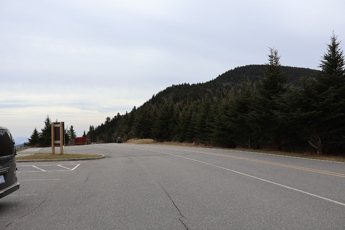
At 6,684 feet, Mount Mitchell is the highest point anywhere east of the Mississippi, and you can drive almost all the way to the top.
Turn off at milepost 355 onto Highway 128 and climb for five miles. From the car park it is a five minute paved walk to an observation platform, which is a remarkably small effort for a summit of that stature.
Take a jacket, and I mean properly. It is routinely 15 to 20 degrees Fahrenheit colder than the valley, and the wind up there does not mess about.
The spruce and fir forest near the summit is a leftover from the last ice age, which is a genuinely odd thing to walk through in North Carolina.
The Waterfalls Just Off the Road
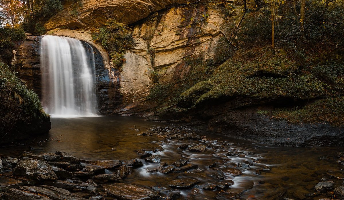
Some of the best stops are not on the parkway at all, they are a short detour off it, and this is where most first-timers miss out.
Looking Glass Falls south of Asheville is roadside, sixty feet high, and requires no walking whatsoever. Dry Falls near Highlands lets you walk behind the water. Sliding Rock is a natural water slide that is far too cold in October and extremely popular in July.
Pisgah National Forest, which the parkway runs straight through, has dozens more. Pick two, accept you will not see them all.
When the Colour Actually Peaks
Altitude drives everything here, not latitude. The high sections above 5,000 feet turn in the first week of October. Mid elevations follow around the second and third week. The valleys and the southern end hold on until late October and sometimes into November.
This is genuinely useful, because it means a badly timed trip is usually rescuable. If the high country has already dropped, drive lower. If it is still green up top, go up.
The North Carolina foliage reports are updated weekly through the season and they are far more reliable than guessing.
How Long You Actually Need
Driving the full 469 miles without stopping takes about twelve hours. Nobody does that, and you would have wasted the trip.
Three days is the minimum for the whole thing and it will feel brisk. Five is comfortable. If you only have two, do the North Carolina half from Boone down to Asheville, which has the highest concentration of the good stuff.
Bear in mind sections close. Snow, ice, rockfall and roadworks shut individual stretches with little warning, and the closure map is worth checking the morning you set out.
Common Questions
Do I need to pay to drive the Blue Ridge Parkway?
No. It is free, with no entrance station and no pass required. You will pay for individual attractions like Grandfather Mountain and the Biltmore, both of which sit just off it.
Can I do it in an RV?
Yes, and plenty do, but check tunnel heights before you commit. There are 26 tunnels, mostly at the southern end, and a few are tight for large rigs.
Is there petrol on the parkway?
Essentially no. You exit to nearby towns for fuel and food. Treat a quarter tank as empty and top up whenever you leave the road.
What is the difference between the Parkway and Skyline Drive?
Skyline Drive is the 105 mile road through Shenandoah National Park immediately to the north, and it charges an entrance fee. The two connect end to end, so many people drive them as one 574 mile route.
Is it worth doing outside autumn?
Genuinely yes. June brings rhododendron in bloom across the high balds, and spring is quiet and green. Autumn is simply the postcard version, which is why everyone comes then.